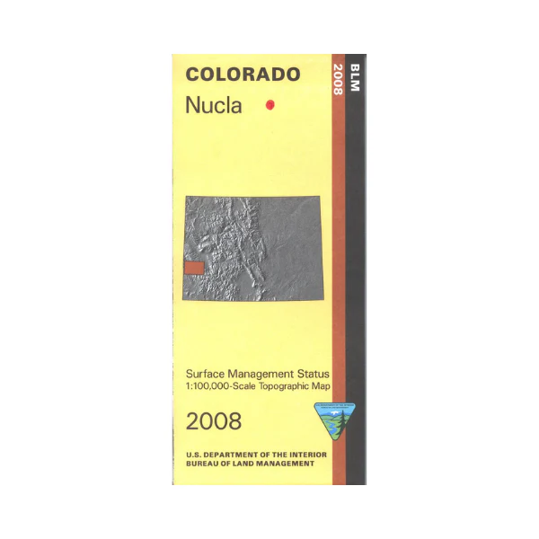
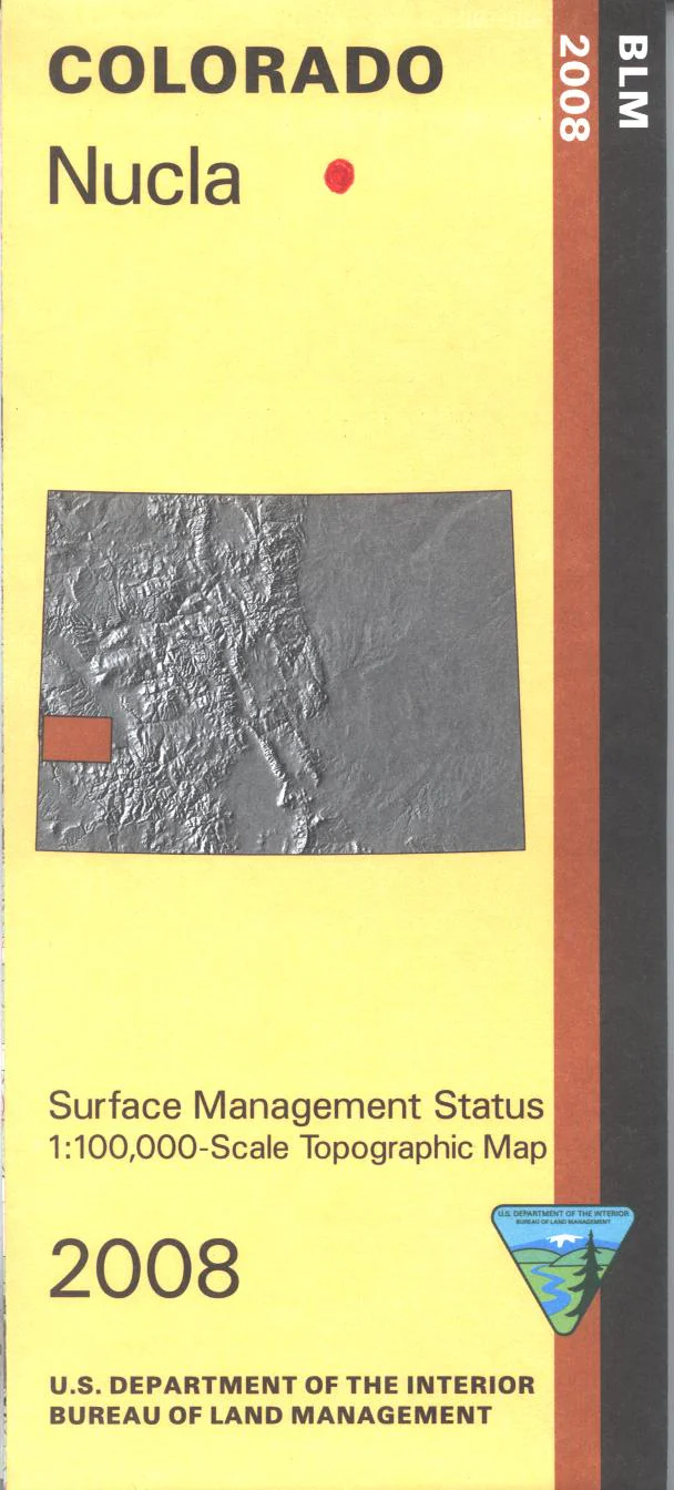
Map: Nucla CO - CO141S
The BLM quadrant maps are scaled at 1:100,000, and cover an area of about 30 x 50 miles. The Uncompahgre National Forest as well as extensive BLM lands afford excellent opportunities for adventure including OHV/ATV use. Camping, hiking, mountain biking, scenic driving, and fishing on the San Miguel River. Map is useful for Colorado Hunting Units 60,61,62, 711, and 70. Ownership status is denoted by color, and roads, lakes, streams, and other topographical features are marked on these maps. 2008
Original: $8.99
-65%$8.99
$3.15Product Information
Product Information
Shipping & Returns
Shipping & Returns
Description
The BLM quadrant maps are scaled at 1:100,000, and cover an area of about 30 x 50 miles. The Uncompahgre National Forest as well as extensive BLM lands afford excellent opportunities for adventure including OHV/ATV use. Camping, hiking, mountain biking, scenic driving, and fishing on the San Miguel River. Map is useful for Colorado Hunting Units 60,61,62, 711, and 70. Ownership status is denoted by color, and roads, lakes, streams, and other topographical features are marked on these maps. 2008


