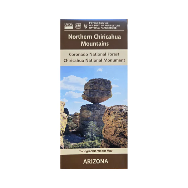
Map: Northern Chiricahua Mountains AZ
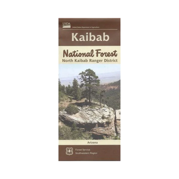
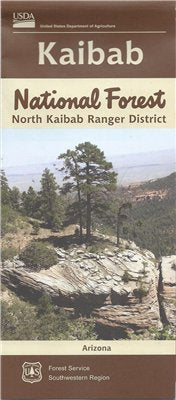
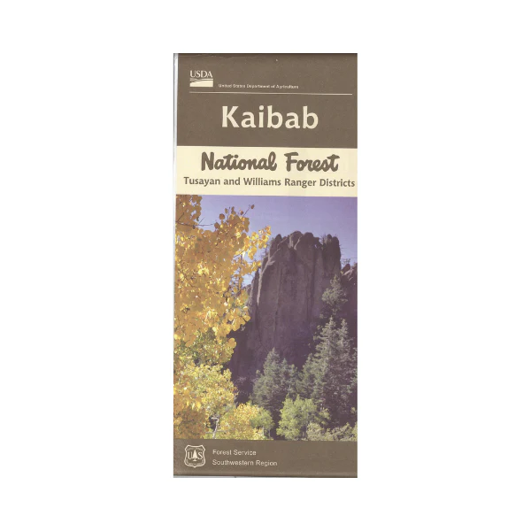
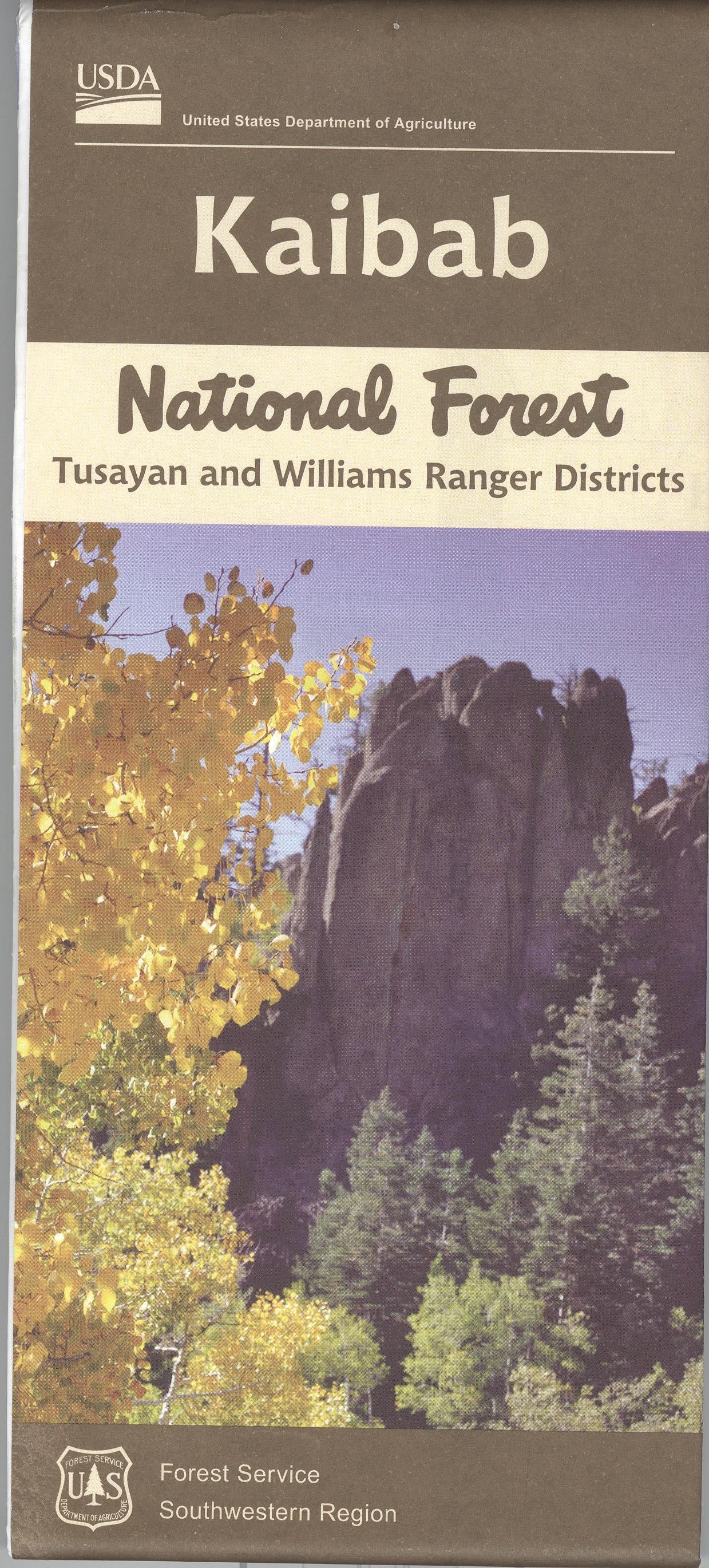
Covers the northern section of Coronado National Forest, the Chiricahua Wilderness, and Chiricahua National Monument. Map shows roads, hiking trails, campgrounds, creeks, and picnic areas. A great map for scenic driving through the forest while trying fishing, or birding. Map is useful for OHV use or AZ Hunting Unit 29. Topographic detail shown on national forest land. Printed on synthetic tear proof waterproof paper. 2024
Product Information
Product Information
Shipping & Returns
Shipping & Returns
Description
Covers the northern section of Coronado National Forest, the Chiricahua Wilderness, and Chiricahua National Monument. Map shows roads, hiking trails, campgrounds, creeks, and picnic areas. A great map for scenic driving through the forest while trying fishing, or birding. Map is useful for OHV use or AZ Hunting Unit 29. Topographic detail shown on national forest land. Printed on synthetic tear proof waterproof paper. 2024