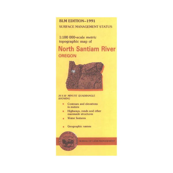
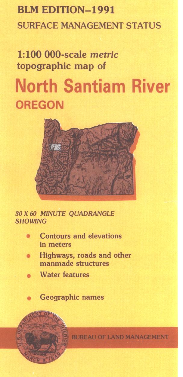
Map: North Santiam River OR
Official Bureau of Land Management metric topographic map
@1:100,000 scale (roughly 3/4" = 1 mile), color-coded to show surface
management, i.e. agency vs. private or tribal ownership. Both maps show color coded public and private
ownership, roads, water features, points of interest and the township
and range lines. Recent revisions are topographic. 1991
Original: $8.99
-65%$8.99
$3.15Product Information
Product Information
Shipping & Returns
Shipping & Returns
Description
Official Bureau of Land Management metric topographic map
@1:100,000 scale (roughly 3/4" = 1 mile), color-coded to show surface
management, i.e. agency vs. private or tribal ownership. Both maps show color coded public and private
ownership, roads, water features, points of interest and the township
and range lines. Recent revisions are topographic. 1991


