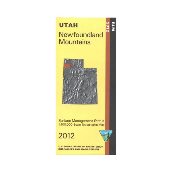
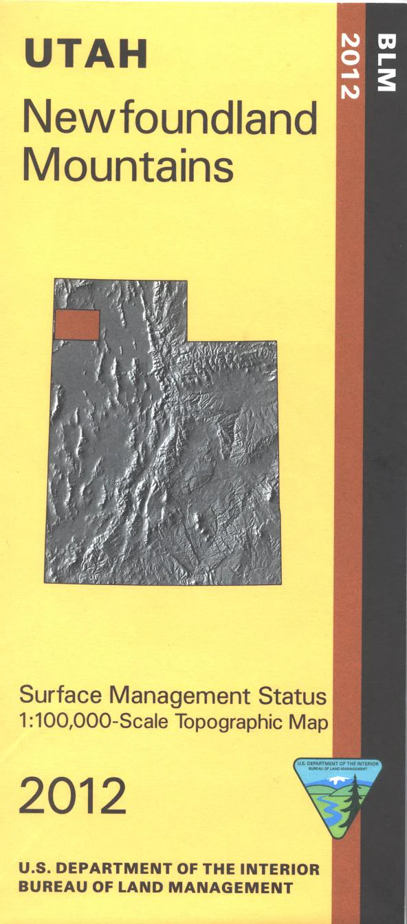
Map: Newfoundland Mountains UT - UT125S
Map covers mostly BLM lands from the Pilot Mountains near the Nevada border east to the Great Salt Lake/Clyman Bay area. Explore the remote BLM 4WD roads around the Pilot Range, Silver Island Mountains, or Newfoundland Mountains. Official Bureau of Land Management metric topographic map @1:100,000 scale (roughly 3/4"`1 mile), color-coded to show Surface Management/ownership i.e. agency vs. private or tribal. Map shows roads, water features, and the township and range lines. Use this map to hunt in the Box Elder Hunting Unit. 2012
Product Information
Product Information
Shipping & Returns
Shipping & Returns
Description
Map covers mostly BLM lands from the Pilot Mountains near the Nevada border east to the Great Salt Lake/Clyman Bay area. Explore the remote BLM 4WD roads around the Pilot Range, Silver Island Mountains, or Newfoundland Mountains. Official Bureau of Land Management metric topographic map @1:100,000 scale (roughly 3/4"`1 mile), color-coded to show Surface Management/ownership i.e. agency vs. private or tribal. Map shows roads, water features, and the township and range lines. Use this map to hunt in the Box Elder Hunting Unit. 2012


