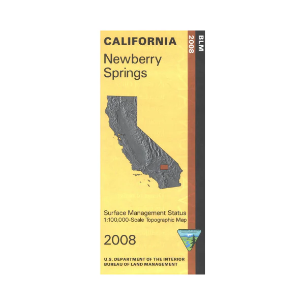
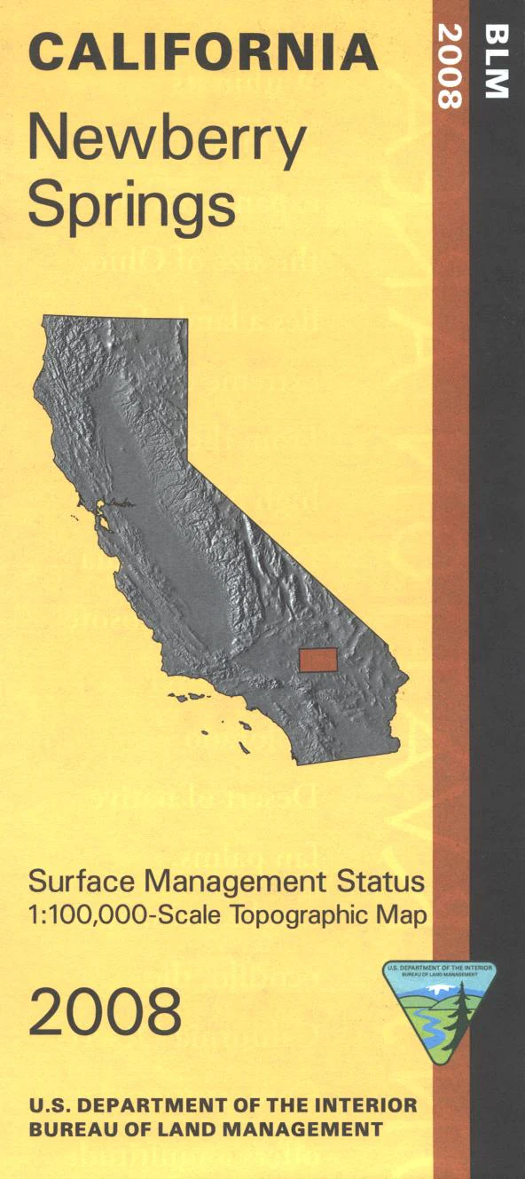
Map: Newberry Springs CA - CA300S
From Newberry Springs explore expansive BLM lands to the east or south. OHV enthusiasts can enjoy riding their ATVs, motorcycles, and jeeps in the Johnson Valley or Stoddard Valley Off Highway Vehicle Areas. Backside of map has extensive information about the designated 25 million acre California Desert Conservation Area. Includes descriptive information about the places on the map, along with available recreational activities such as camping, hiking, horseback riding, and 4 Wheel/OHV driving. Official Bureau of Land Management metric topographic map @1:100,000 scale (roughly 3/4"=1 mile), color-coded to show surface management, i.e. agency vs. private or tribal ownership. Map shows roads, water features, recreation sites, points of interest, and the township and range lines. Maps show trails and developed recreation areas such as campgrounds. Use this map for Deer Hunting in Unit D17. 2008
Original: $8.99
-65%$8.99
$3.15Product Information
Product Information
Shipping & Returns
Shipping & Returns
Description
From Newberry Springs explore expansive BLM lands to the east or south. OHV enthusiasts can enjoy riding their ATVs, motorcycles, and jeeps in the Johnson Valley or Stoddard Valley Off Highway Vehicle Areas. Backside of map has extensive information about the designated 25 million acre California Desert Conservation Area. Includes descriptive information about the places on the map, along with available recreational activities such as camping, hiking, horseback riding, and 4 Wheel/OHV driving. Official Bureau of Land Management metric topographic map @1:100,000 scale (roughly 3/4"=1 mile), color-coded to show surface management, i.e. agency vs. private or tribal ownership. Map shows roads, water features, recreation sites, points of interest, and the township and range lines. Maps show trails and developed recreation areas such as campgrounds. Use this map for Deer Hunting in Unit D17. 2008


