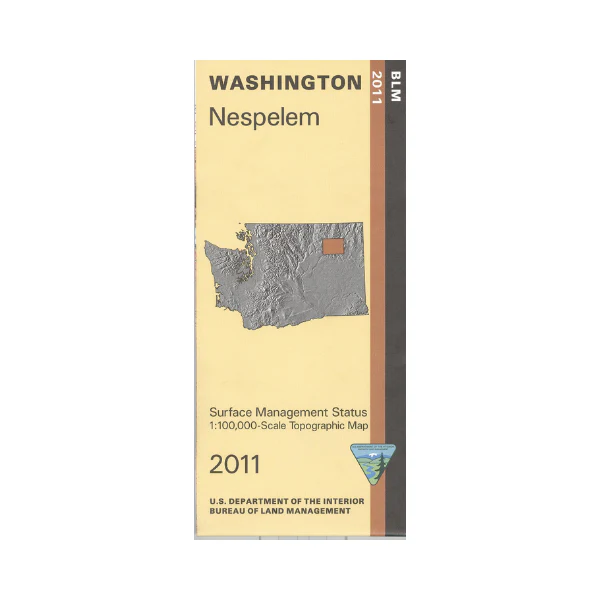
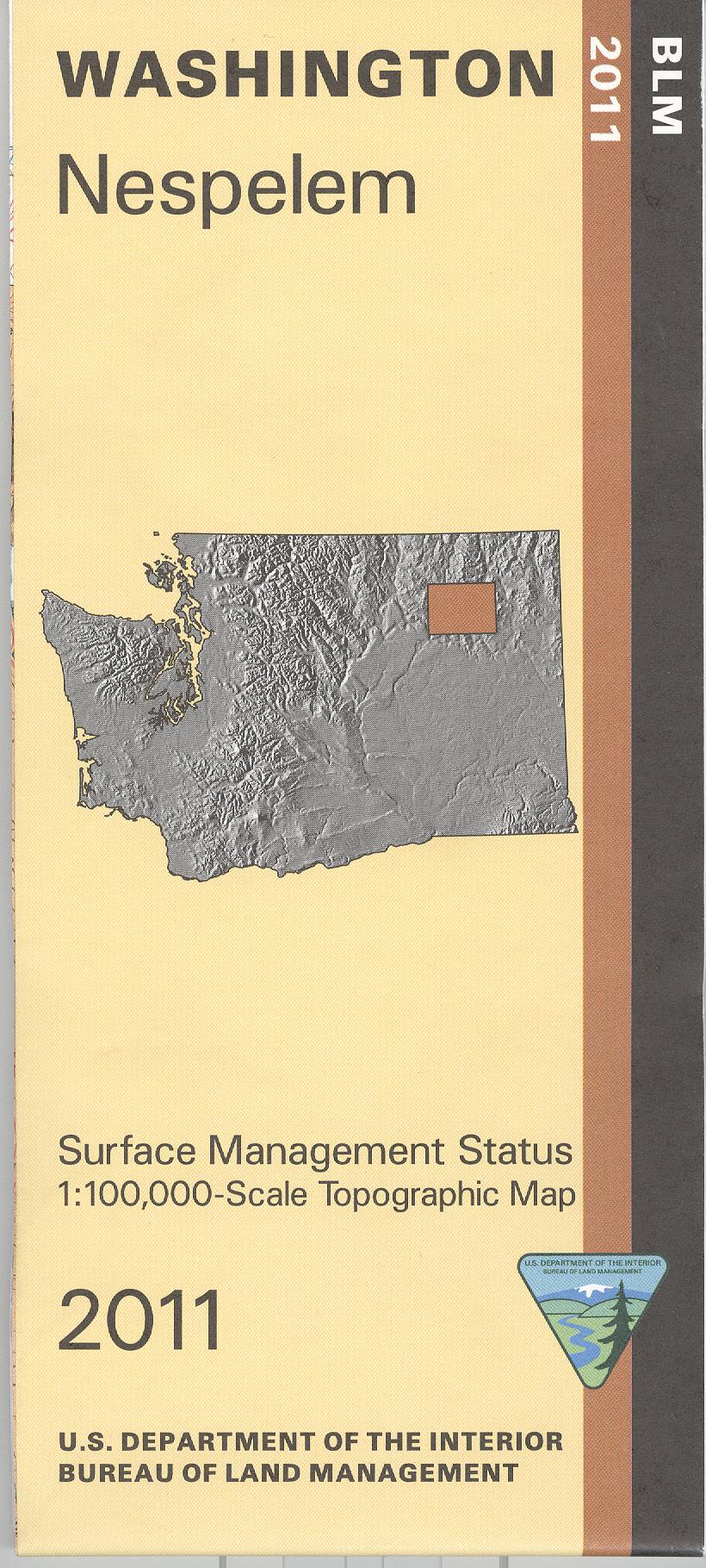
Map: Nespelem WA (MINERAL)- WA023SM
Map shows mostly the Coleville Indian Reservation(restricted travel), and the Columbia River/Franklin D Roosevelt Lake adjacent to the east reservation boundary. Access several campgrounds on the eastside of the river to enjoy fishing, boating, and camping. T
his official BLM map shows color-coded federal, state, and private lands, topographic detail, roads, water features, recreation sites, place names, county boundaries, and township and range lines. Use this map for hunting in Unit 121. This is a Mineral Management Map, with an additional layer showing below-surface mineral rights.
Scale is 1:100,000, roughly 3/4 inch to 1 mile. Currently only the version with mineral management and surface management is available. 2011
Original: $8.99
-65%$8.99
$3.15Product Information
Product Information
Shipping & Returns
Shipping & Returns
Description
Map shows mostly the Coleville Indian Reservation(restricted travel), and the Columbia River/Franklin D Roosevelt Lake adjacent to the east reservation boundary. Access several campgrounds on the eastside of the river to enjoy fishing, boating, and camping. T
his official BLM map shows color-coded federal, state, and private lands, topographic detail, roads, water features, recreation sites, place names, county boundaries, and township and range lines. Use this map for hunting in Unit 121. This is a Mineral Management Map, with an additional layer showing below-surface mineral rights.
Scale is 1:100,000, roughly 3/4 inch to 1 mile. Currently only the version with mineral management and surface management is available. 2011


