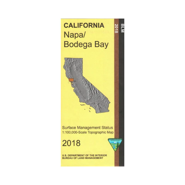
Map: Napa / Bodega Bay CA - CA290S
From Napa travel south to access San Pablo Bay, or travel west to Point Reyes National Seashore. Official Bureau of Land Management metric topographic map @1:100,000 scale (roughly 3/4"=1 mile), color-coded to show surface management, i.e. agency vs. private or tribal ownership. Map shows roads, water features, points of interest and the township and range lines.
Bodega Bay side shows land from Fort Ross State Historical Park south to Sonoma Coast State Beach, and the Russian River from the shoreline east to Greenwood Park. Most of the map shows the Pacific Ocean with the California Coastal National Monument. Camping, hiking, fishing, and boating at the state beach. Official Bureau of Land Management metric topographic map @1:100,000 scale (roughly 3/4"=1 mile), color-coded to show surface management, i.e. agency vs. private or tribal ownership. Map shows roads, water features, points of interest and the township and range lines. Use this map for Deer Hunting in A North Unit 160. 2018
Original: $8.99
-65%$8.99
$3.15Product Information
Product Information
Shipping & Returns
Shipping & Returns
Description
From Napa travel south to access San Pablo Bay, or travel west to Point Reyes National Seashore. Official Bureau of Land Management metric topographic map @1:100,000 scale (roughly 3/4"=1 mile), color-coded to show surface management, i.e. agency vs. private or tribal ownership. Map shows roads, water features, points of interest and the township and range lines.
Bodega Bay side shows land from Fort Ross State Historical Park south to Sonoma Coast State Beach, and the Russian River from the shoreline east to Greenwood Park. Most of the map shows the Pacific Ocean with the California Coastal National Monument. Camping, hiking, fishing, and boating at the state beach. Official Bureau of Land Management metric topographic map @1:100,000 scale (roughly 3/4"=1 mile), color-coded to show surface management, i.e. agency vs. private or tribal ownership. Map shows roads, water features, points of interest and the township and range lines. Use this map for Deer Hunting in A North Unit 160. 2018


