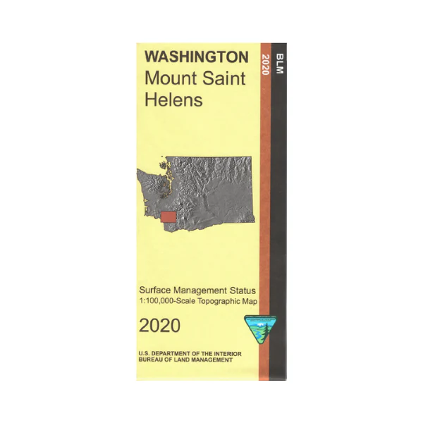
Map: Mt St Helens WA - WA022S
Map shows Mount Saint Helens National Volcanic Monument with adjacent section of Gifford Pinchot National Forest, Rifle Lake, Swift Reservoir, Yale Lake, and west to the Cowlitz River, the Columbia River, and Longview WA. Boating and fishing on the rivers. From Castle Rock travel east to enter the national monument with it's scenic views and hiking trails. This Bureau of Land Management public lands map shows color-coded federal, state, and private lands, roads, water features, recreation sites, points of interest, place names, county boundaries, and township and range lines. Use this map for hunting in Units 504, 520, 522, 524, 530, 550, 556, and 558.
2020
Product Information
Product Information
Shipping & Returns
Shipping & Returns
Description
Map shows Mount Saint Helens National Volcanic Monument with adjacent section of Gifford Pinchot National Forest, Rifle Lake, Swift Reservoir, Yale Lake, and west to the Cowlitz River, the Columbia River, and Longview WA. Boating and fishing on the rivers. From Castle Rock travel east to enter the national monument with it's scenic views and hiking trails. This Bureau of Land Management public lands map shows color-coded federal, state, and private lands, roads, water features, recreation sites, points of interest, place names, county boundaries, and township and range lines. Use this map for hunting in Units 504, 520, 522, 524, 530, 550, 556, and 558.
2020


