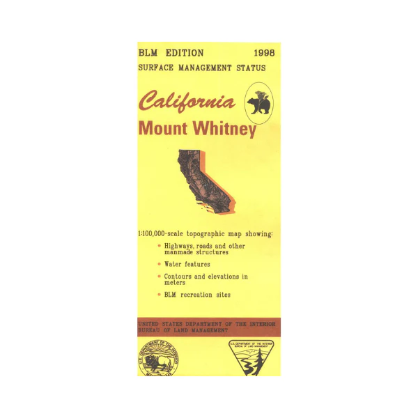
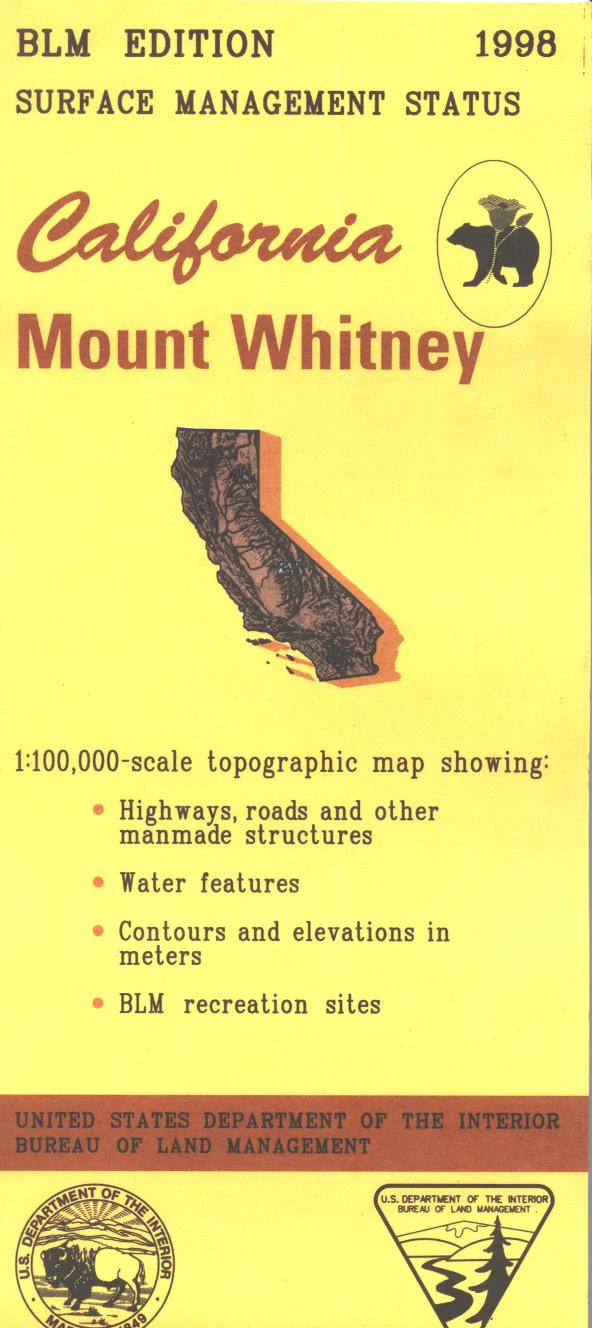
Map: Mount Whitney CA - CA285S
Map shows Owens Valley from Aberdeen south to Lone Pine with adjacent BLM land, and land from Inyo National Forest west to John Muir Wilderness, then south into Sequoia National Forest. Map includes much of Kings Canyon, and part of Sequoia National Parks. From Lone Pine or Independence travel west to access campgrounds in Inyo National Forest. Official Bureau of Land Management metric topographic map @1:100,000 scale (roughly 3/4"=1 mile), color-coded to show surface management, i.e. agency vs. private or tribal ownership. Map shows roads, water features, recreation sites, points of interest, and the township and range lines. Maps show trails, roads, and developed recreation areas such as campgrounds. Use this map for Deer Hunting in Units D7, D8, and X9C and for Elk Hunting Lone Pine, Tinemaha, Whitney, and Independence Zones. 1998
Original: $8.99
-65%$8.99
$3.15Product Information
Product Information
Shipping & Returns
Shipping & Returns
Description
Map shows Owens Valley from Aberdeen south to Lone Pine with adjacent BLM land, and land from Inyo National Forest west to John Muir Wilderness, then south into Sequoia National Forest. Map includes much of Kings Canyon, and part of Sequoia National Parks. From Lone Pine or Independence travel west to access campgrounds in Inyo National Forest. Official Bureau of Land Management metric topographic map @1:100,000 scale (roughly 3/4"=1 mile), color-coded to show surface management, i.e. agency vs. private or tribal ownership. Map shows roads, water features, recreation sites, points of interest, and the township and range lines. Maps show trails, roads, and developed recreation areas such as campgrounds. Use this map for Deer Hunting in Units D7, D8, and X9C and for Elk Hunting Lone Pine, Tinemaha, Whitney, and Independence Zones. 1998


