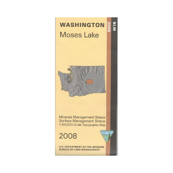
Map: Moses Lake WA (MINERAL) - WA017SM
Map shows lands from Wilson Creek west to a few miles west of Quincy. From Moses Lake travel north to camp, boat, and fish on Moses Lake, then travel past Ephrata to Soap Lake and Lake Lenore for camping, boating, fishing, and hiking. Map shows several wildlife areas including Desert, Billy Clapp Lake, and Potholes State Wildlife Areas with opportunities for camping, fishing, or boating. Visit the Sand Dunes Grant County OHV Area south of Moses Lake, or explore BLM lands north of Quincy.
This official BLM map shows color-coded federal, state, and private lands, topographic detail, roads, water features, recreation sites, points of interest, place names, county boundaries, township and range lines. This is a Mineral Management Map, with an additional layer showing below-surface mineral rights.
Use this map for hunting in WA Units 269, 272, and 290.
Scale is 1:100,000, roughly 3/4 inch to 1 mile. 2008
Original: $8.99
-65%$8.99
$3.15Product Information
Product Information
Shipping & Returns
Shipping & Returns
Description
Map shows lands from Wilson Creek west to a few miles west of Quincy. From Moses Lake travel north to camp, boat, and fish on Moses Lake, then travel past Ephrata to Soap Lake and Lake Lenore for camping, boating, fishing, and hiking. Map shows several wildlife areas including Desert, Billy Clapp Lake, and Potholes State Wildlife Areas with opportunities for camping, fishing, or boating. Visit the Sand Dunes Grant County OHV Area south of Moses Lake, or explore BLM lands north of Quincy.
This official BLM map shows color-coded federal, state, and private lands, topographic detail, roads, water features, recreation sites, points of interest, place names, county boundaries, township and range lines. This is a Mineral Management Map, with an additional layer showing below-surface mineral rights.
Use this map for hunting in WA Units 269, 272, and 290.
Scale is 1:100,000, roughly 3/4 inch to 1 mile. 2008


