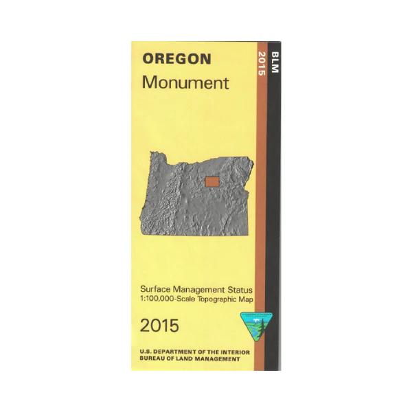
Map: Monument OR - OR041S
From Monument travel north to explore a section of Umatilla National Forest, or travel southeast to explore Malheur National Forest. Map shows the Sheep Rock Unit of John Day Fossil Beds National Monument, stop at the visitor centers and hike the trails. Explore the surrounding BLM lands, or follow the John Day River on Hwy 19.
Official Bureau of Land Management metric topographic map @1:100,000 scale (roughly 3/4" = 1 mile), color-coded to show surface
management, i.e. agency vs. private or tribal ownership. This map shows roads, water features, points of interest, and the township and range lines. Useful for OR Hunting Units 45, 47, and 48. 2015
Product Information
Product Information
Shipping & Returns
Shipping & Returns
Description
From Monument travel north to explore a section of Umatilla National Forest, or travel southeast to explore Malheur National Forest. Map shows the Sheep Rock Unit of John Day Fossil Beds National Monument, stop at the visitor centers and hike the trails. Explore the surrounding BLM lands, or follow the John Day River on Hwy 19.
Official Bureau of Land Management metric topographic map @1:100,000 scale (roughly 3/4" = 1 mile), color-coded to show surface
management, i.e. agency vs. private or tribal ownership. This map shows roads, water features, points of interest, and the township and range lines. Useful for OR Hunting Units 45, 47, and 48. 2015


