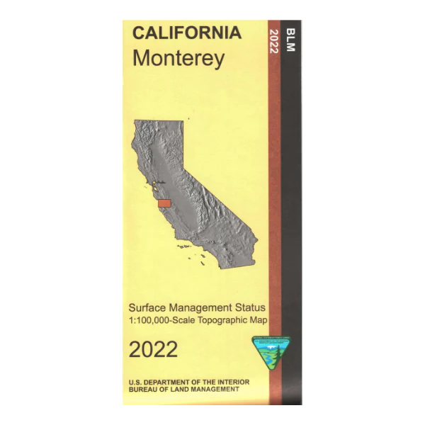
Map: Monterey CA - CA275S
Map shows lands east of Monterey to San Benito. For OHV users travel east of Monterey to Hollister Hills State Vehicular Recreation Area to use your ATV, motorcycle, or jeep, also offers camping and hiking.
Official Bureau of Land Management metric topographic map @1:100,000 scale (roughly 3/4"=1 mile), color-coded to show surface management, i.e. agency vs. private or tribal ownership. Map shows roads, water features, recreation sites, points of interest, and the township and range lines. Use this map for Deer Hunting in Unit A South 110. 2022
Original: $8.99
-65%$8.99
$3.15Product Information
Product Information
Shipping & Returns
Shipping & Returns
Description
Map shows lands east of Monterey to San Benito. For OHV users travel east of Monterey to Hollister Hills State Vehicular Recreation Area to use your ATV, motorcycle, or jeep, also offers camping and hiking.
Official Bureau of Land Management metric topographic map @1:100,000 scale (roughly 3/4"=1 mile), color-coded to show surface management, i.e. agency vs. private or tribal ownership. Map shows roads, water features, recreation sites, points of interest, and the township and range lines. Use this map for Deer Hunting in Unit A South 110. 2022


