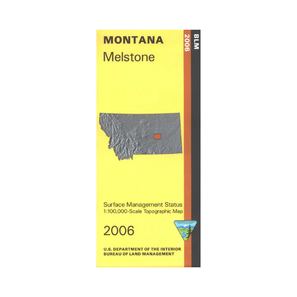
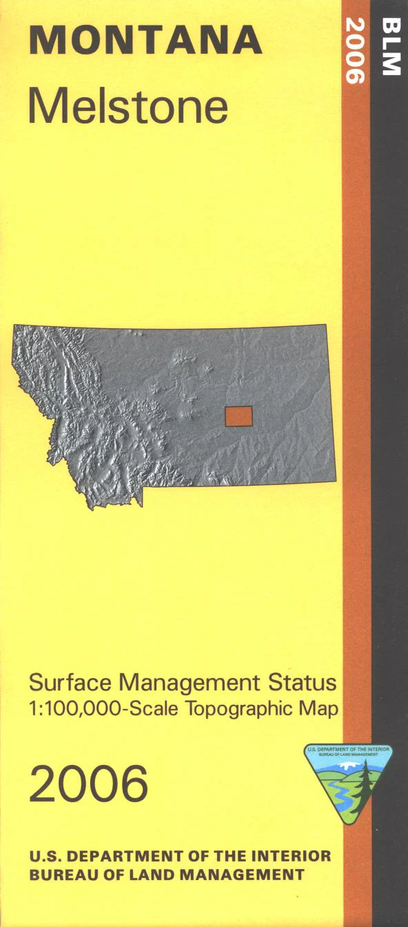
Map: Melstone MT - MT1127S
Official Bureau of Land Management metric topographic map @1:100,000 scale (roughly 3/4"`1 mile), color-coded to show surface
management, i.e. agency vs. private or tribal ownership. Map shows color coded public and private ownership, roads, water features, points of interest, and the township and range lines. Scattered small sections of BLM lands and state lands are shown, mostly east of Melstone. Use for Hunting Deer Elk and Mountain Lion in Units 530, 590, and 701. 2006
Original: $8.99
-65%$8.99
$3.15Product Information
Product Information
Shipping & Returns
Shipping & Returns
Description
Official Bureau of Land Management metric topographic map @1:100,000 scale (roughly 3/4"`1 mile), color-coded to show surface
management, i.e. agency vs. private or tribal ownership. Map shows color coded public and private ownership, roads, water features, points of interest, and the township and range lines. Scattered small sections of BLM lands and state lands are shown, mostly east of Melstone. Use for Hunting Deer Elk and Mountain Lion in Units 530, 590, and 701. 2006


