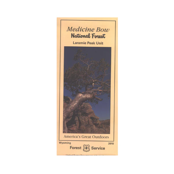
Map: Medicine Bow NF WY - Laramie Peak Unit
Map includes the Laramie Mountains south of Douglas. Travel the scenic forest roads through the mountains while camping, fishing, hiking, mountain biking, horseback riding, and wildlife viewing. 4WD in LaBonte Canyon with opportunities for easy to more difficult hiking in the scenic canyon. Map shows recreation information, camping and recreation areas, corrals, points of interest, historical sites, and other Forest Service facilities. Forest roads and trails are clearly marked. Map is useful for OHV use, and WY Antelope Hunting Units 30, 42, and 103; WY Deer HU 64, 65, and 66; WY Elk HU 7, and 19. Printed on synthetic paper. 2010
Product Information
Product Information
Shipping & Returns
Shipping & Returns
Description
Map includes the Laramie Mountains south of Douglas. Travel the scenic forest roads through the mountains while camping, fishing, hiking, mountain biking, horseback riding, and wildlife viewing. 4WD in LaBonte Canyon with opportunities for easy to more difficult hiking in the scenic canyon. Map shows recreation information, camping and recreation areas, corrals, points of interest, historical sites, and other Forest Service facilities. Forest roads and trails are clearly marked. Map is useful for OHV use, and WY Antelope Hunting Units 30, 42, and 103; WY Deer HU 64, 65, and 66; WY Elk HU 7, and 19. Printed on synthetic paper. 2010


