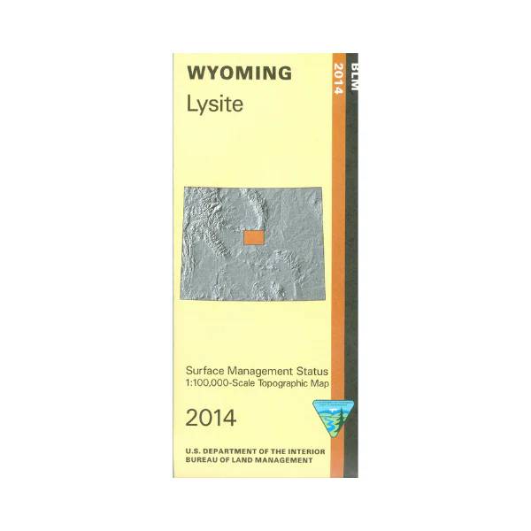
Map: Lysite WY - WY031S
Explore expansive BLM lands surrounding Lysite. Travel on the South Bighorn Red Wall Back Country Byway Loop starting at Waltman. The BLM quadrant maps are scaled at 1:100,000, and cover an area of about 30 x 50 miles. Official Bureau of Land Management metric topographic map @1:100,000 scale (roughly 3/4"`1 mile), color-coded to show surface management, i.e. agency vs. private or tribal ownership. Map shows color coded public and private ownership, roads, water features, recreation sites, points of interest, and the township and range lines. Use the map for OHV use, and WY Deer Hunting Units 34, 36, 89, and 90; WY Elk HU 23, 48, 120, and 128. 2014
Product Information
Product Information
Shipping & Returns
Shipping & Returns
Description
Explore expansive BLM lands surrounding Lysite. Travel on the South Bighorn Red Wall Back Country Byway Loop starting at Waltman. The BLM quadrant maps are scaled at 1:100,000, and cover an area of about 30 x 50 miles. Official Bureau of Land Management metric topographic map @1:100,000 scale (roughly 3/4"`1 mile), color-coded to show surface management, i.e. agency vs. private or tribal ownership. Map shows color coded public and private ownership, roads, water features, recreation sites, points of interest, and the township and range lines. Use the map for OHV use, and WY Deer Hunting Units 34, 36, 89, and 90; WY Elk HU 23, 48, 120, and 128. 2014


