
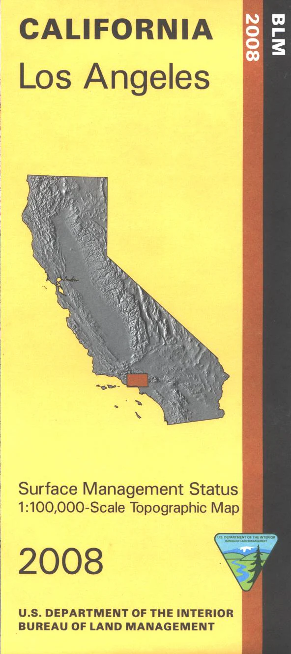
Map: Los Angeles CA - CA250S
From Los Angeles travel north to explore part of Angeles National Forest accessed near La Crescenta, with opportunities for camping, picnicking,or scenic driving the byway. West of Los Angeles visit San Vicente Topanga or Malibu Creek State Parks with opportunities for hiking, horseback riding, mountain biking, and camping(Malibu Creek). Official Bureau of Land Management metric topographic map @1:100,000 scale (roughly 3/4"=1 mile), color-coded to show surface management, i.e. agency vs. private or tribal ownership.
Map shows roads, water features, recreation sites, points of interest, and the township and range lines. Map shows trails, roads, and developed recreation areas such as campgrounds. Use this map for Deer Hunting in D11 and D13. 2008
Original: $8.99
-65%$8.99
$3.15Product Information
Product Information
Shipping & Returns
Shipping & Returns
Description
From Los Angeles travel north to explore part of Angeles National Forest accessed near La Crescenta, with opportunities for camping, picnicking,or scenic driving the byway. West of Los Angeles visit San Vicente Topanga or Malibu Creek State Parks with opportunities for hiking, horseback riding, mountain biking, and camping(Malibu Creek). Official Bureau of Land Management metric topographic map @1:100,000 scale (roughly 3/4"=1 mile), color-coded to show surface management, i.e. agency vs. private or tribal ownership.
Map shows roads, water features, recreation sites, points of interest, and the township and range lines. Map shows trails, roads, and developed recreation areas such as campgrounds. Use this map for Deer Hunting in D11 and D13. 2008


