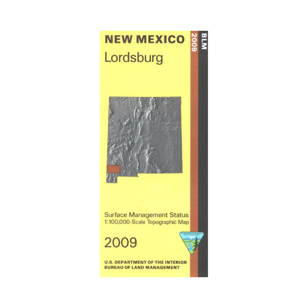
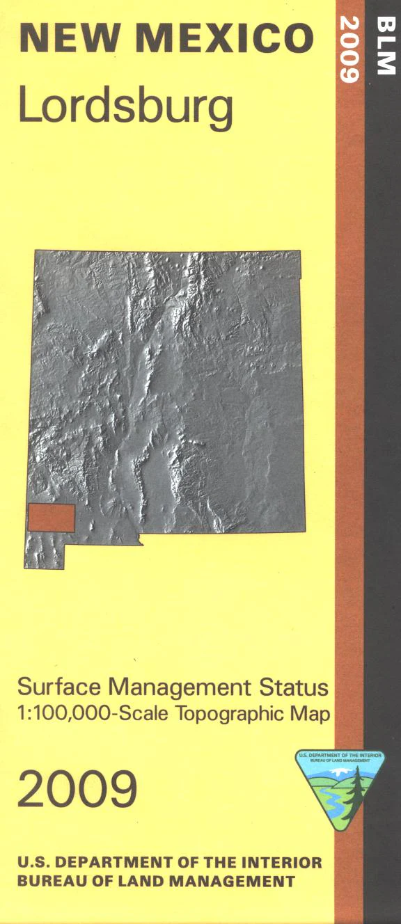
Map: Lordsburg NM - NM034S
Official Bureau of Land Management topographic maps @1:100,000 metric scale (roughly 3/4" = 1 mile), are color-coded to show federally-managed public lands; plus state, private, or tribal lands, military withdrawals, roads and trails, lakes, rivers and streams, and developed recreation areas. This is a great map to have while stalking game in Hunting Units 23, 25, 26, and 27, wildlife watching, hiking, backpacking, mountain biking, camping, or OHV and ATV riding. Includes a section of the Continental Divide National Scenic Trial from Gila National Forest into Lordsburg, then south into Grant County. Includes roads and lands in Hidalgo, Grant and Luna Counties and southern portion of Gila National Forest. 2009
Product Information
Product Information
Shipping & Returns
Shipping & Returns
Description
Official Bureau of Land Management topographic maps @1:100,000 metric scale (roughly 3/4" = 1 mile), are color-coded to show federally-managed public lands; plus state, private, or tribal lands, military withdrawals, roads and trails, lakes, rivers and streams, and developed recreation areas. This is a great map to have while stalking game in Hunting Units 23, 25, 26, and 27, wildlife watching, hiking, backpacking, mountain biking, camping, or OHV and ATV riding. Includes a section of the Continental Divide National Scenic Trial from Gila National Forest into Lordsburg, then south into Grant County. Includes roads and lands in Hidalgo, Grant and Luna Counties and southern portion of Gila National Forest. 2009


