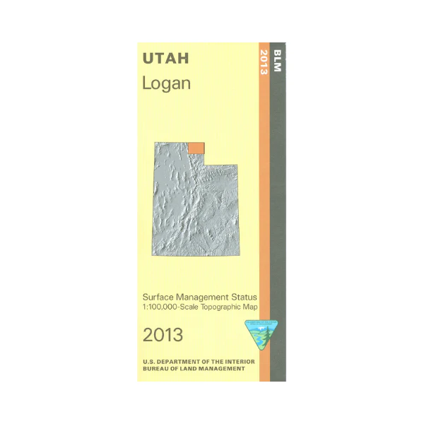
Map: Logan UT - UT119S
From Logan travel east into Wasatch Cache National Forest on Logan Canyon Scenic Byway with opportunities for scenic driving, wildlife viewing, camping, hiking, mountain biking, and fishing. Explore the forest on the Great Western Trail south to Hyrum. Camp, fish, swim, and boat on Bear Lake following the roads around the lake. From Randolph explore the nearby BLM lands to the east or west. Official Bureau of Land Management metric topographic map @1:100,000 scale (roughly 3/4"`1 mile), color-coded to show Surface Management/ownership i.e. public vs private or tribal. Map shows roads, water features, trails, recreation sites, points of interest, and township and range lines. Use this map to hunt in the Cache and Ogden Units. 2013
Product Information
Product Information
Shipping & Returns
Shipping & Returns
Description
From Logan travel east into Wasatch Cache National Forest on Logan Canyon Scenic Byway with opportunities for scenic driving, wildlife viewing, camping, hiking, mountain biking, and fishing. Explore the forest on the Great Western Trail south to Hyrum. Camp, fish, swim, and boat on Bear Lake following the roads around the lake. From Randolph explore the nearby BLM lands to the east or west. Official Bureau of Land Management metric topographic map @1:100,000 scale (roughly 3/4"`1 mile), color-coded to show Surface Management/ownership i.e. public vs private or tribal. Map shows roads, water features, trails, recreation sites, points of interest, and township and range lines. Use this map to hunt in the Cache and Ogden Units. 2013


