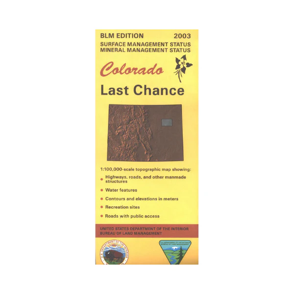
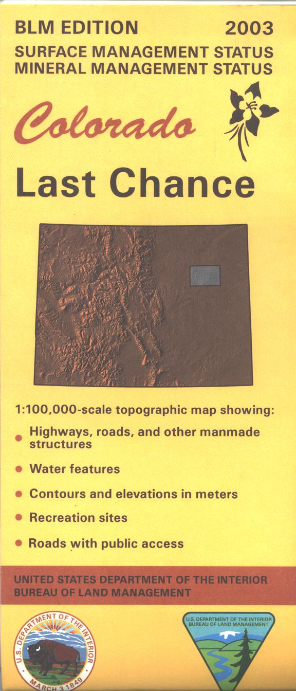
Map: Last Chance CO (MINERAL)- CO136SM
Only available in Mineral/Surface Management Status The BLM quadrant maps are scaled at 1:100,000, and cover an area of about 30 x 50 miles. Map is useful for Colorado Hunting Units 99,100,106,107. Map has mostly private lands with scattered state lands. Ownership status is denoted by color, and roads, lakes, streams, and other topographical features are marked on these maps.2005
Product Information
Product Information
Shipping & Returns
Shipping & Returns
Description
Only available in Mineral/Surface Management Status The BLM quadrant maps are scaled at 1:100,000, and cover an area of about 30 x 50 miles. Map is useful for Colorado Hunting Units 99,100,106,107. Map has mostly private lands with scattered state lands. Ownership status is denoted by color, and roads, lakes, streams, and other topographical features are marked on these maps.2005


