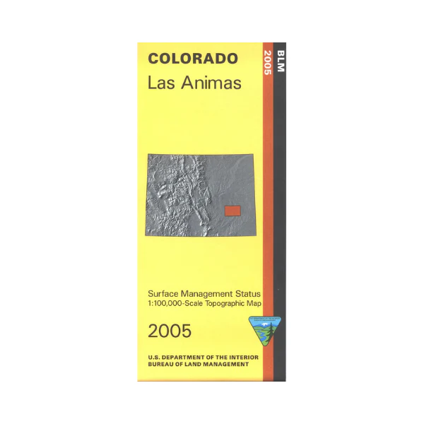
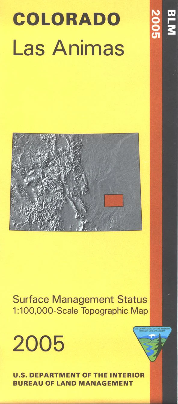
Map: Las Animas CO - CO135S
The BLM quadrant maps are scaled at 1:100,000, and cover an area of about 30 x 50 miles. Enjoy the John Martin Reservoir State Park just east of Las Animas. Drive Hwy 50, which is close to the Arkansas River. Access the river at the four wildlife areas shown on the map. Map is useful for Colorado Hunting Units 120, 121, 124, 125, 126, 129, 130, and 146. Ownership status is denoted by color, and roads, lakes, streams, and other topographical features are marked on these maps. 2005
Original: $8.99
-65%$8.99
$3.15Product Information
Product Information
Shipping & Returns
Shipping & Returns
Description
The BLM quadrant maps are scaled at 1:100,000, and cover an area of about 30 x 50 miles. Enjoy the John Martin Reservoir State Park just east of Las Animas. Drive Hwy 50, which is close to the Arkansas River. Access the river at the four wildlife areas shown on the map. Map is useful for Colorado Hunting Units 120, 121, 124, 125, 126, 129, 130, and 146. Ownership status is denoted by color, and roads, lakes, streams, and other topographical features are marked on these maps. 2005


