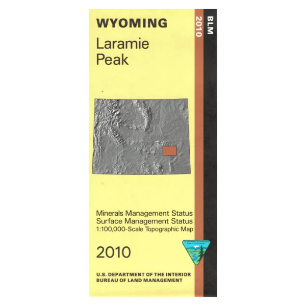
Map: Laramie Peak WY (MINERAL)- WY029SM
Map covers lands west and south of Glendo on I-25 including the sections of Medicine Bow National Forest-Laramie Peak Unit. Explore the forest;recreation includes camping, fishing, hiking, horseback riding, mountain biking, and ATV riding on designated trails. Visit Glendo State Park for more recreational opportunities, or explore the BLM lands shown on the map.
The BLM quadrant maps are scaled at 1:100,000, and cover an area of about 30 x 50 miles. Official Bureau of Land Management metric topographic map @1:100,000 scale (roughly 3/4"`1 mile), color-coded to show surface management, i.e. agency vs. private or tribal ownership. Map shows color coded public and private ownership, roads, water features, recreation sites, points of interest, and the township and range lines. This is a mineral management map with an additional layer showing below-surface mineral rights.
Use the map for OHV use, and WY Deer Hunting Units 64, and 65; WY Elk HU 7. 2010
Original: $8.99
-65%$8.99
$3.15Product Information
Product Information
Shipping & Returns
Shipping & Returns
Description
Map covers lands west and south of Glendo on I-25 including the sections of Medicine Bow National Forest-Laramie Peak Unit. Explore the forest;recreation includes camping, fishing, hiking, horseback riding, mountain biking, and ATV riding on designated trails. Visit Glendo State Park for more recreational opportunities, or explore the BLM lands shown on the map.
The BLM quadrant maps are scaled at 1:100,000, and cover an area of about 30 x 50 miles. Official Bureau of Land Management metric topographic map @1:100,000 scale (roughly 3/4"`1 mile), color-coded to show surface management, i.e. agency vs. private or tribal ownership. Map shows color coded public and private ownership, roads, water features, recreation sites, points of interest, and the township and range lines. This is a mineral management map with an additional layer showing below-surface mineral rights.
Use the map for OHV use, and WY Deer Hunting Units 64, and 65; WY Elk HU 7. 2010


