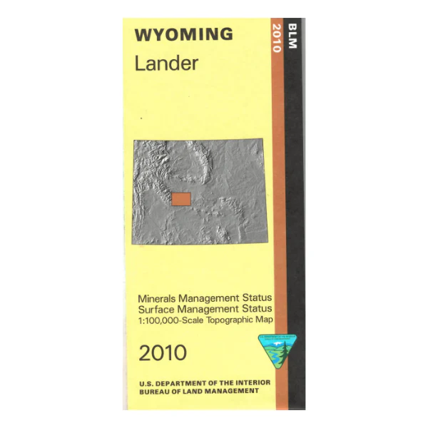
Map: Lander WY (MINERAL)- WY027SM
The BLM quadrant maps are scaled at 1:100,000, and cover an area of about 30 x 50 miles. Ownership status is denoted by color, and roads, lakes, streams, and other topographical features are marked on these maps. This is a mineral management map, with an additional layer showing below-surface mineral rights. 2010
$3.15
Original: $8.99
-65%Map: Lander WY (MINERAL)- WY027SM—
$8.99
$3.15Product Information
Product Information
Shipping & Returns
Shipping & Returns
Description
The BLM quadrant maps are scaled at 1:100,000, and cover an area of about 30 x 50 miles. Ownership status is denoted by color, and roads, lakes, streams, and other topographical features are marked on these maps. This is a mineral management map, with an additional layer showing below-surface mineral rights. 2010


