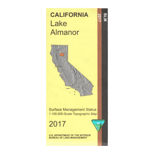
Map: Lake Almanor CA - CA215S
From southern Lassen Volcanic National Park map shows Lassen National Forest and Lake Almanor. Camping, fishing, boating, and swimming at the lake. Explore the forest on the California Back Country Discovery Trail, or on the Lassen Scenic Byway. For hikers/backpackers the Pacific Crest National Scenic Trail is marked from the national park south to Bucks Lake Wilderness.
Official Bureau of Land Management metric topographic map @1:100,000 scale (roughly 3/4"=1 mile), color-coded to show surface management, i.e. agency vs. private or tribal ownership. Map shows roads, water features, recreation sites, points of interest, and the township and range lines. Map shows trails, roads, and developed recreation areas such as campgrounds. Use this map for Deer Hunting in Units C3, C4, and X6a and for Elk Hunting in Northeastern Zone. 2017
Official Bureau of Land Management metric topographic map @1:100,000 scale (roughly 3/4"=1 mile), color-coded to show surface management, i.e. agency vs. private or tribal ownership. Map shows roads, water features, recreation sites, points of interest, and the township and range lines. Map shows trails, roads, and developed recreation areas such as campgrounds. Use this map for Deer Hunting in Units C3, C4, and X6a and for Elk Hunting in Northeastern Zone. 2017
$3.15
Original: $8.99
-65%Map: Lake Almanor CA - CA215S—
$8.99
$3.15Product Information
Product Information
Shipping & Returns
Shipping & Returns
Description
From southern Lassen Volcanic National Park map shows Lassen National Forest and Lake Almanor. Camping, fishing, boating, and swimming at the lake. Explore the forest on the California Back Country Discovery Trail, or on the Lassen Scenic Byway. For hikers/backpackers the Pacific Crest National Scenic Trail is marked from the national park south to Bucks Lake Wilderness.
Official Bureau of Land Management metric topographic map @1:100,000 scale (roughly 3/4"=1 mile), color-coded to show surface management, i.e. agency vs. private or tribal ownership. Map shows roads, water features, recreation sites, points of interest, and the township and range lines. Map shows trails, roads, and developed recreation areas such as campgrounds. Use this map for Deer Hunting in Units C3, C4, and X6a and for Elk Hunting in Northeastern Zone. 2017
Official Bureau of Land Management metric topographic map @1:100,000 scale (roughly 3/4"=1 mile), color-coded to show surface management, i.e. agency vs. private or tribal ownership. Map shows roads, water features, recreation sites, points of interest, and the township and range lines. Map shows trails, roads, and developed recreation areas such as campgrounds. Use this map for Deer Hunting in Units C3, C4, and X6a and for Elk Hunting in Northeastern Zone. 2017


