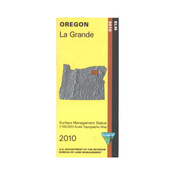
Map: La Grande OR - OR031S
From La Grande travel north to explore a section of Umatilla National Forest, or travel west or southwest to Wallowa Whitman National Forest. Take your ATV southwest to forest trailheads outside of North Fork John Day Wilderness; opportunities for camping, and also hiking, mountain biking, ATV riding on the multi-use trails. Travel the Blue Mountain Scenic Byway, access at Ukiah. Official Bureau of Land Management metric topographic map
@1:100,000 scale (roughly 3/4" = 1 mile), color-coded to show surface
management, i.e. agency vs. private or tribal ownership. Map shows roads, water features, recreation sites, points of interest, and the township
and range lines. Map is useful for OR Hunting Units 49, 52, and 54. 2010
Product Information
Product Information
Shipping & Returns
Shipping & Returns
Description
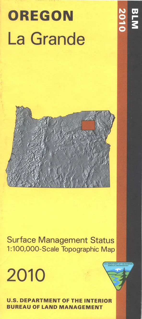
From La Grande travel north to explore a section of Umatilla National Forest, or travel west or southwest to Wallowa Whitman National Forest. Take your ATV southwest to forest trailheads outside of North Fork John Day Wilderness; opportunities for camping, and also hiking, mountain biking, ATV riding on the multi-use trails. Travel the Blue Mountain Scenic Byway, access at Ukiah. Official Bureau of Land Management metric topographic map
@1:100,000 scale (roughly 3/4" = 1 mile), color-coded to show surface
management, i.e. agency vs. private or tribal ownership. Map shows roads, water features, recreation sites, points of interest, and the township
and range lines. Map is useful for OR Hunting Units 49, 52, and 54. 2010


