Map: Kasha-Katuwe Tent Rocks National Monument NM
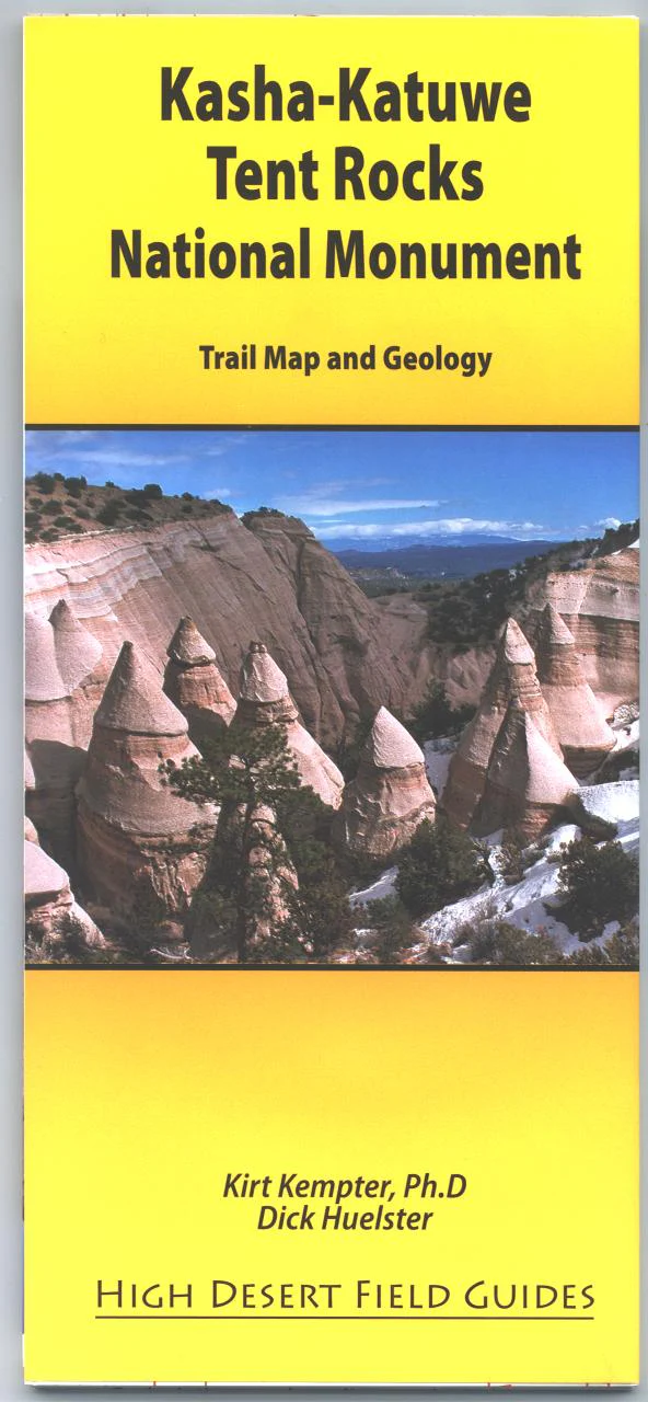
Kasha-Katuwe Tent Rocks is a land of spectacular and bizarre rock shapes in the southwestern foothills of New Mexico's Jemez Mountains. A national monument since 2001, Kasha-Katuwe is jointly managed by the Bureau of Land Management and Cochiti Pueblo. This new map by noted geologists Kirt Kempter and Dick Huelster describes the fascinating geology of the national monument and places it in the context of the surrounding region. Activities include picnicking, hiking, scenic driving, and photography. Nearby is Cochiti Reservoir with opportunities for camping, boating, and fishing. Printed on water and tear proof paper in 2009
Original: $11.95
-65%$11.95
$4.18Product Information
Product Information
Shipping & Returns
Shipping & Returns
Description
Kasha-Katuwe Tent Rocks is a land of spectacular and bizarre rock shapes in the southwestern foothills of New Mexico's Jemez Mountains. A national monument since 2001, Kasha-Katuwe is jointly managed by the Bureau of Land Management and Cochiti Pueblo. This new map by noted geologists Kirt Kempter and Dick Huelster describes the fascinating geology of the national monument and places it in the context of the surrounding region. Activities include picnicking, hiking, scenic driving, and photography. Nearby is Cochiti Reservoir with opportunities for camping, boating, and fishing. Printed on water and tear proof paper in 2009


