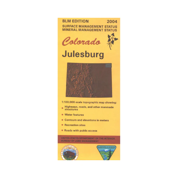
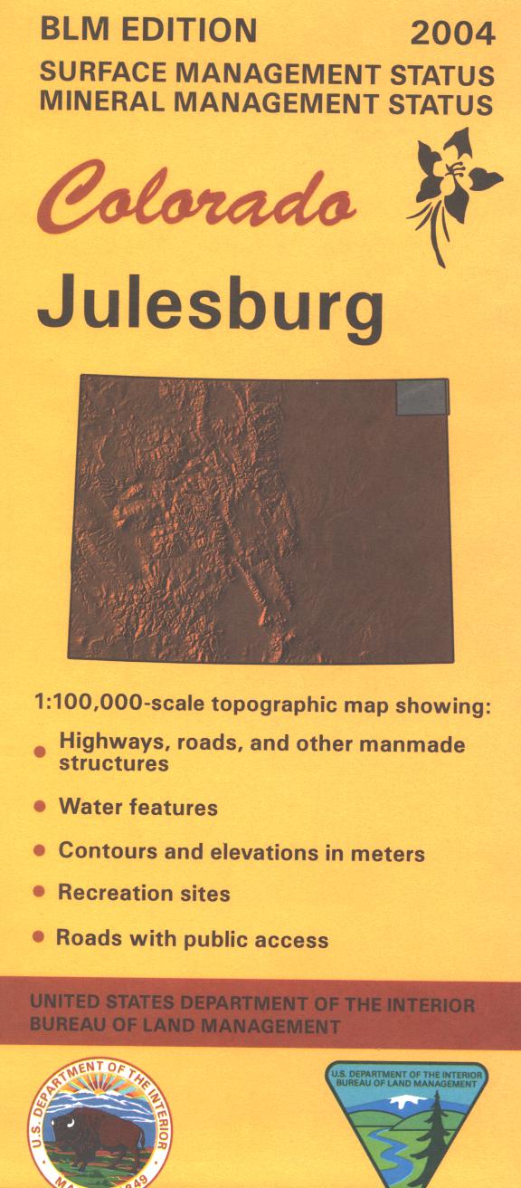
Map: Julesburg CO (MINERAL) - CO130SM
Only available in Mineral/Surface Management Status format.
The BLM quadrant maps are scaled at 1:100,000, and cover an area of about 30 x 50 miles. Map shows South Platte River west of Julesburg. Camping, fishing, and boating at Red Lion State Wildlife Area. Map is useful for Colorado Hunting Units 91,92,93,98, and 90. Ownership status is denoted by color, and roads, lakes, streams, and other topographical features are marked on these maps. No BLM land shown. Mostly private lands with some state lands. 2004
This is a mineral management map, with an additional layer showing below-surface mineral rights.
Original: $8.99
-65%$8.99
$3.15Product Information
Product Information
Shipping & Returns
Shipping & Returns
Description
Only available in Mineral/Surface Management Status format.
The BLM quadrant maps are scaled at 1:100,000, and cover an area of about 30 x 50 miles. Map shows South Platte River west of Julesburg. Camping, fishing, and boating at Red Lion State Wildlife Area. Map is useful for Colorado Hunting Units 91,92,93,98, and 90. Ownership status is denoted by color, and roads, lakes, streams, and other topographical features are marked on these maps. No BLM land shown. Mostly private lands with some state lands. 2004
This is a mineral management map, with an additional layer showing below-surface mineral rights.


