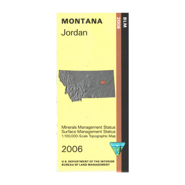
Map: Jordan MT (MINERAL) - MT1101SM
Explore BLM lands mostly northeast and southeast of Jordan. Camping, hiking, horseback riding, and fishing in Charles M Russell National Wildlife Refuge northeast of Jordan. This official Bureau of Land Management metric topographic map is printed at a 1:100,000 scale (roughly 3/4"`1 mile) and color-coded to show surface
management, i.e. agency vs. private or tribal ownership. This map shows color coded public and private ownership, roads, water features, recreation sites, points of interest, and the township
and range lines. Use this map for OHV use, and hunting Deer, Elk and Mountain Lion in Units 650, 652, 700, and 701. 2006
Product Information
Product Information
Shipping & Returns
Shipping & Returns
Description
Explore BLM lands mostly northeast and southeast of Jordan. Camping, hiking, horseback riding, and fishing in Charles M Russell National Wildlife Refuge northeast of Jordan. This official Bureau of Land Management metric topographic map is printed at a 1:100,000 scale (roughly 3/4"`1 mile) and color-coded to show surface
management, i.e. agency vs. private or tribal ownership. This map shows color coded public and private ownership, roads, water features, recreation sites, points of interest, and the township
and range lines. Use this map for OHV use, and hunting Deer, Elk and Mountain Lion in Units 650, 652, 700, and 701. 2006


