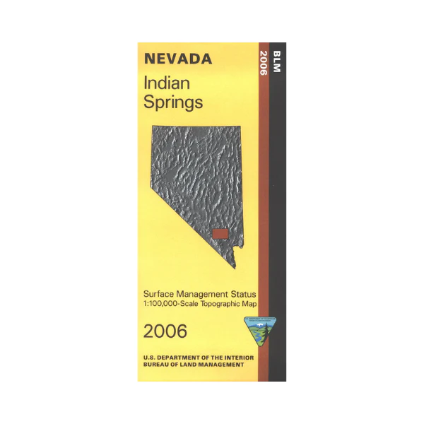
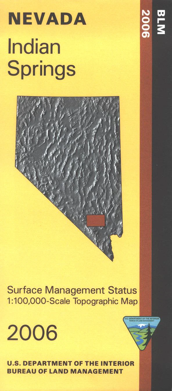
Map: Indian Springs NV - NV130S
BLM Management Status maps color code who owns what in the given quadrant; private, tribal, or public. Roads and waterways and other manmade and natural features are clearly marked. Map includes a large part of Desert National Wildlife Refuge and military land northwest of Las Vegas. Use this map for OHV use, and hunting in NV Units 262, 280, 281, 282, 283, 284, and 286. 2006
Original: $8.99
-65%$8.99
$3.15Product Information
Product Information
Shipping & Returns
Shipping & Returns
Description
BLM Management Status maps color code who owns what in the given quadrant; private, tribal, or public. Roads and waterways and other manmade and natural features are clearly marked. Map includes a large part of Desert National Wildlife Refuge and military land northwest of Las Vegas. Use this map for OHV use, and hunting in NV Units 262, 280, 281, 282, 283, 284, and 286. 2006


