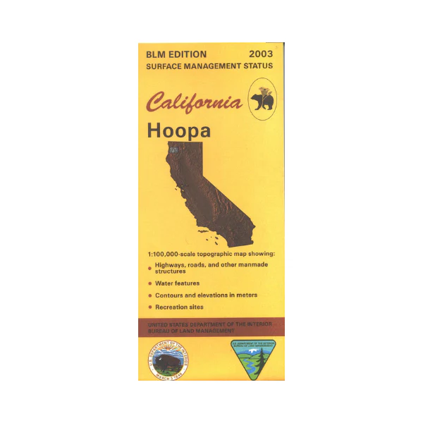
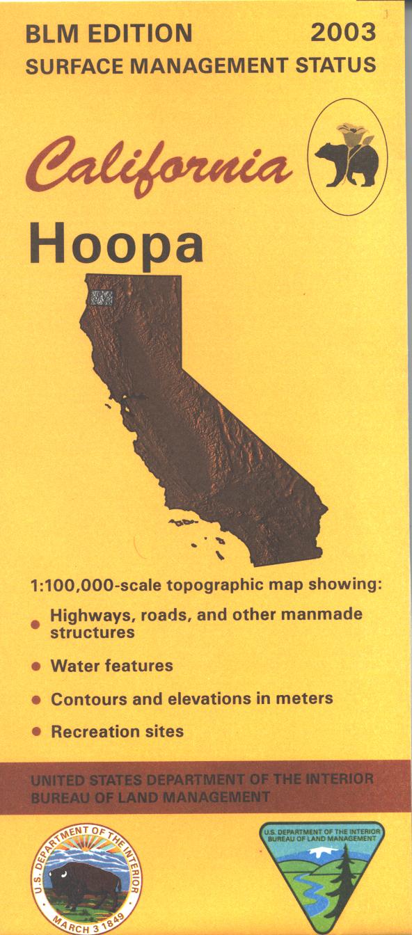
Map: Hoopa CA - CA195S
Map shows Klamath National Forest section with Marble Mountain Wilderness, Trinity Alps Wilderness section, and Six Rivers National Forest section, all east of Hoopa Valley Indian Reservation. Travel along the Klamath River with river access points marked, enjoy camping, hiking, and fishing, and paddling/floating. Official Bureau of Land Management metric topographic map @1:100,000 scale (roughly 3/4"=1 mile), color-coded to show surface management, i.e. agency vs. private or tribal ownership. Map shows roads, water features, recreation sites, points of interest, and the township and range lines. Use this map for Deer Hunting in Units B1, B2, and B6 and for Elk Hunting in Northwestern and Marble Mountains Zones. 2003
Product Information
Product Information
Shipping & Returns
Shipping & Returns
Description
Map shows Klamath National Forest section with Marble Mountain Wilderness, Trinity Alps Wilderness section, and Six Rivers National Forest section, all east of Hoopa Valley Indian Reservation. Travel along the Klamath River with river access points marked, enjoy camping, hiking, and fishing, and paddling/floating. Official Bureau of Land Management metric topographic map @1:100,000 scale (roughly 3/4"=1 mile), color-coded to show surface management, i.e. agency vs. private or tribal ownership. Map shows roads, water features, recreation sites, points of interest, and the township and range lines. Use this map for Deer Hunting in Units B1, B2, and B6 and for Elk Hunting in Northwestern and Marble Mountains Zones. 2003


