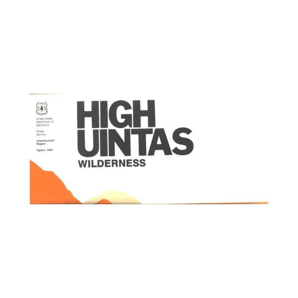
Map: High Uintas UT - Wilderness
Map covers Hoop, Brown, Moon, Crystal, Little Lyman and Atwood lakes; Paradise Park, Cedar View, Upper Stillwater and Whitney reservoirs; Red Knob, Squaw, Smith Fork, Anderson and Thompson passes. Includes the surrounding adjacent national forests showing road accesses to the wilderness trailheads. Relief shown by contours and spot elevations. Trails are clearly marked. A great map to have for hiking, backpacking, or horseback riding in the wilderness. Use the map for hunting in North Slope and South Slope units. Map is durable; on tear proof, water proof, synthetic paper. Scale 1:75,000. 1994
Original: $19.99
-65%$19.99
$7.00Product Information
Product Information
Shipping & Returns
Shipping & Returns
Description
Map covers Hoop, Brown, Moon, Crystal, Little Lyman and Atwood lakes; Paradise Park, Cedar View, Upper Stillwater and Whitney reservoirs; Red Knob, Squaw, Smith Fork, Anderson and Thompson passes. Includes the surrounding adjacent national forests showing road accesses to the wilderness trailheads. Relief shown by contours and spot elevations. Trails are clearly marked. A great map to have for hiking, backpacking, or horseback riding in the wilderness. Use the map for hunting in North Slope and South Slope units. Map is durable; on tear proof, water proof, synthetic paper. Scale 1:75,000. 1994


