Map: Headquarters ID - ID1026S
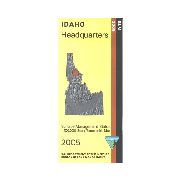
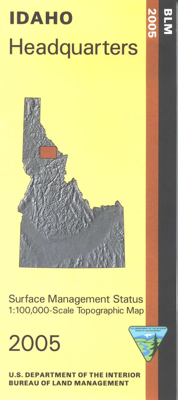
This map shows sections of St. Joe National Forest and Clearwater National Forest north or east of Headquarters ID. Also shows Dworshak Reservoir with large tracts of state lands north and south of the reservoir. Camping, fishing, and boating at the reservoir at Grandad Campground. Camping and fishing found along the North Fork Clearwater River. Official Bureau of Land Management metric topographic map @1:100,000 scale (roughly 3/4"`1 mile), color-coded to show Surface Management/ownership. Map shows roads, OHV roads, waterways, trailheads, campgrounds, and points of interest. Map is useful for OHV use, and ID Hunting Units 10, 10A, and 9. 2005
Product Information
Product Information
Shipping & Returns
Shipping & Returns
Description
This map shows sections of St. Joe National Forest and Clearwater National Forest north or east of Headquarters ID. Also shows Dworshak Reservoir with large tracts of state lands north and south of the reservoir. Camping, fishing, and boating at the reservoir at Grandad Campground. Camping and fishing found along the North Fork Clearwater River. Official Bureau of Land Management metric topographic map @1:100,000 scale (roughly 3/4"`1 mile), color-coded to show Surface Management/ownership. Map shows roads, OHV roads, waterways, trailheads, campgrounds, and points of interest. Map is useful for OHV use, and ID Hunting Units 10, 10A, and 9. 2005


