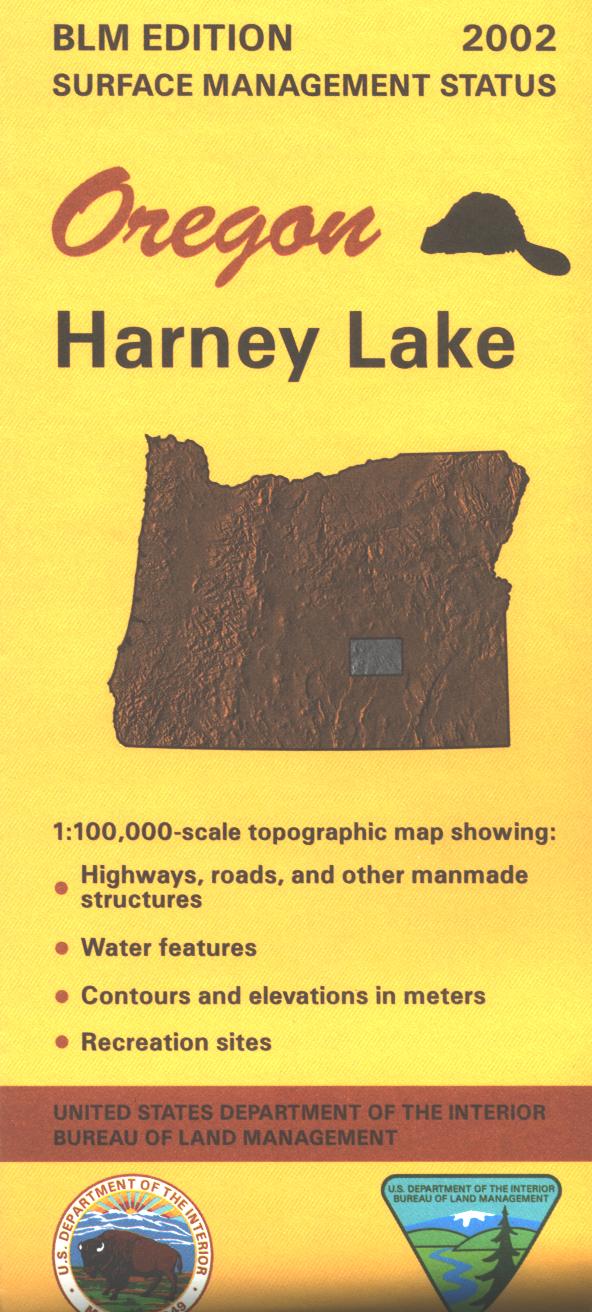
Map: Harney Lake OR - OR024S
Map shows mostly BLM lands west of Harney Lake. Explore the expansive BLM lands west to Wagontire. Visit the Malheur National Wildlife Refuge at Harney Lake, enjoy fishing, canoeing, and wildlife viewing. Official Bureau of Land Management metric topographic map @1:100,000 scale (roughly 3/4" = 1 mile), color-coded to show surface
management, i.e. agency vs. private or tribal ownership. Map show roads, water features, recreation sites, points of interest, and the township
and range lines. Useful for OR Hunting Units 71 and 73. 2002
Original: $8.99
-65%$8.99
$3.15Product Information
Product Information
Shipping & Returns
Shipping & Returns
Description
Map shows mostly BLM lands west of Harney Lake. Explore the expansive BLM lands west to Wagontire. Visit the Malheur National Wildlife Refuge at Harney Lake, enjoy fishing, canoeing, and wildlife viewing. Official Bureau of Land Management metric topographic map @1:100,000 scale (roughly 3/4" = 1 mile), color-coded to show surface
management, i.e. agency vs. private or tribal ownership. Map show roads, water features, recreation sites, points of interest, and the township
and range lines. Useful for OR Hunting Units 71 and 73. 2002


