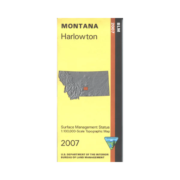
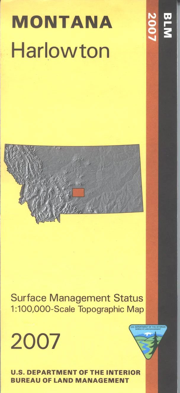
Map: Harlowton MT - MT1090S
Official Bureau of Land Management metric topographic map
@1:100,000 scale (roughly 3/4"`1 mile), color-coded to show surface
management, i.e. agency vs. private or tribal ownership. Map shows color coded public and private
ownership, roads, water features, points of interest and the township and range lines. Recent revisions are topographic. Use this map for hunting Deer and Elk in Units 500, 511, 530, 540, 570, and 580; and for hunting Moose in Unit 496. 2007
Original: $8.99
-65%$8.99
$3.15Product Information
Product Information
Shipping & Returns
Shipping & Returns
Description
Official Bureau of Land Management metric topographic map
@1:100,000 scale (roughly 3/4"`1 mile), color-coded to show surface
management, i.e. agency vs. private or tribal ownership. Map shows color coded public and private
ownership, roads, water features, points of interest and the township and range lines. Recent revisions are topographic. Use this map for hunting Deer and Elk in Units 500, 511, 530, 540, 570, and 580; and for hunting Moose in Unit 496. 2007


