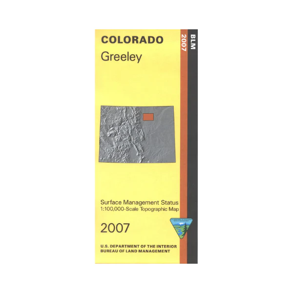
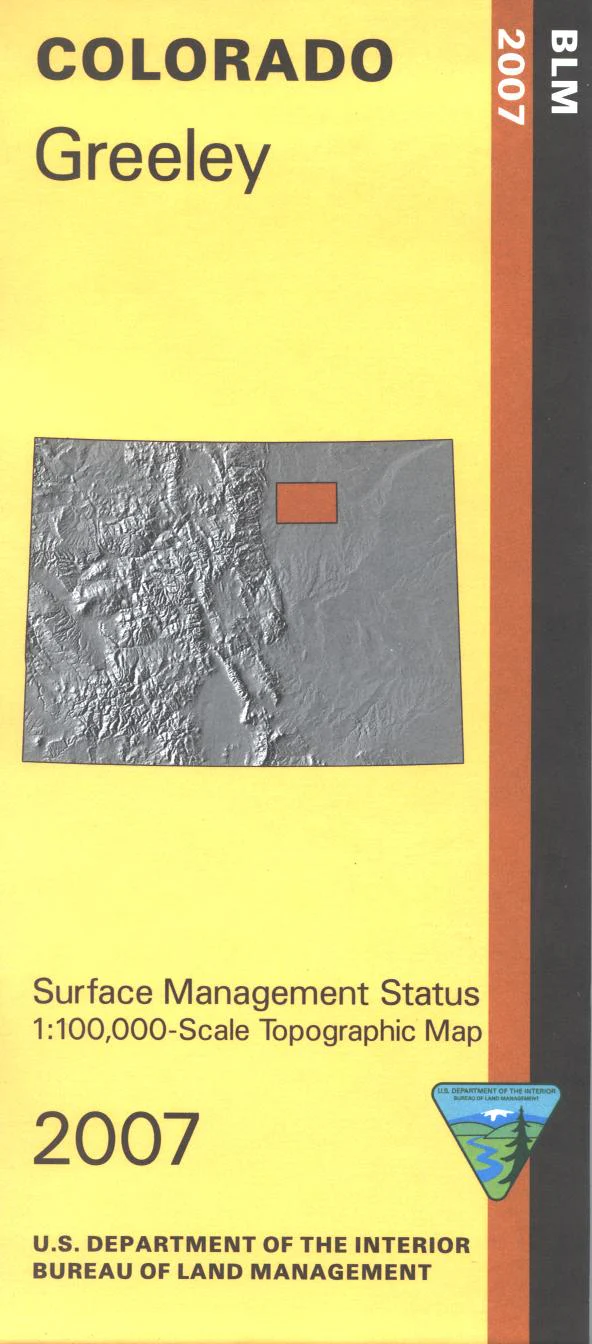
Map: Greeley CO (SURFACE)- CO128S
The BLM quadrant maps are scaled at 1:100,000, and cover an area of about 30 x 50 miles. Map shows some of the South Platte River east and south of Greeley. Camping, fishing, boating, and hiking at St. Vrain State Park. Colorado Hunting Units 94, 95, 96, 99, and 951. Ownership status is denoted by color, and roads, lakes, streams, and other topographical features are marked on these maps. No BLM lands shown. Mostly private lands with some state lands. 2007
Original: $8.99
-65%$8.99
$3.15Product Information
Product Information
Shipping & Returns
Shipping & Returns
Description
The BLM quadrant maps are scaled at 1:100,000, and cover an area of about 30 x 50 miles. Map shows some of the South Platte River east and south of Greeley. Camping, fishing, boating, and hiking at St. Vrain State Park. Colorado Hunting Units 94, 95, 96, 99, and 951. Ownership status is denoted by color, and roads, lakes, streams, and other topographical features are marked on these maps. No BLM lands shown. Mostly private lands with some state lands. 2007


