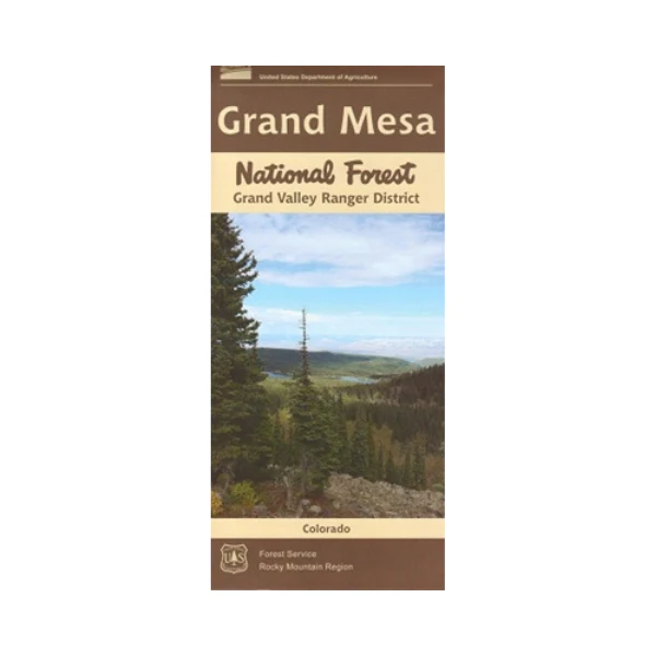
Map: Grand Mesa National Forest CO Grand Valley RD
Each map covers all or a portion of one national forest.
The maps show roads, trails, streams, lakes, recreation sites, land ownership, and major points of interest. The scale is 1/2"= mile. The map includes information about motorized off-road travel (ATVs, motorcycles, etc.) Scenic driving on the Grand Mesa Scenic Byway(Hwy 65) east of Grand Junction CO. Recreation includes camping, fishing/boating at the many lakes, hiking, wildlife viewing, and mountain biking. Map is useful for CO Hunting Units 41,42, and 421. Printed on synthetic, tear-proof, waterproof paper. 2015
Original: $19.99
-65%$19.99
$7.00Product Information
Product Information
Shipping & Returns
Shipping & Returns
Description
Each map covers all or a portion of one national forest.
The maps show roads, trails, streams, lakes, recreation sites, land ownership, and major points of interest. The scale is 1/2"= mile. The map includes information about motorized off-road travel (ATVs, motorcycles, etc.) Scenic driving on the Grand Mesa Scenic Byway(Hwy 65) east of Grand Junction CO. Recreation includes camping, fishing/boating at the many lakes, hiking, wildlife viewing, and mountain biking. Map is useful for CO Hunting Units 41,42, and 421. Printed on synthetic, tear-proof, waterproof paper. 2015


