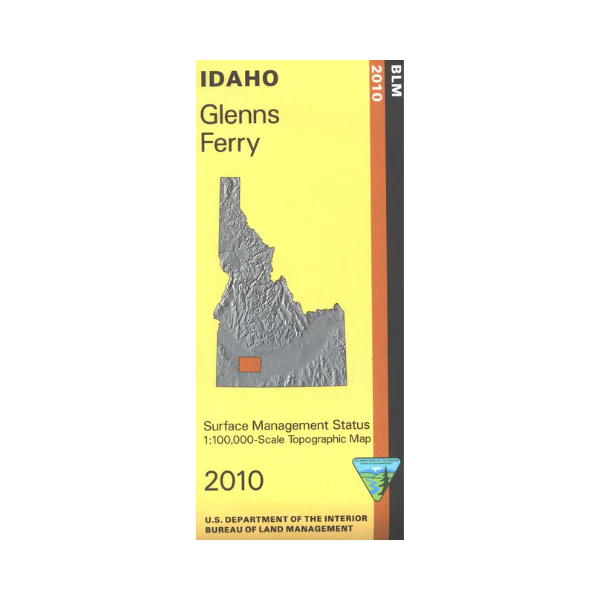
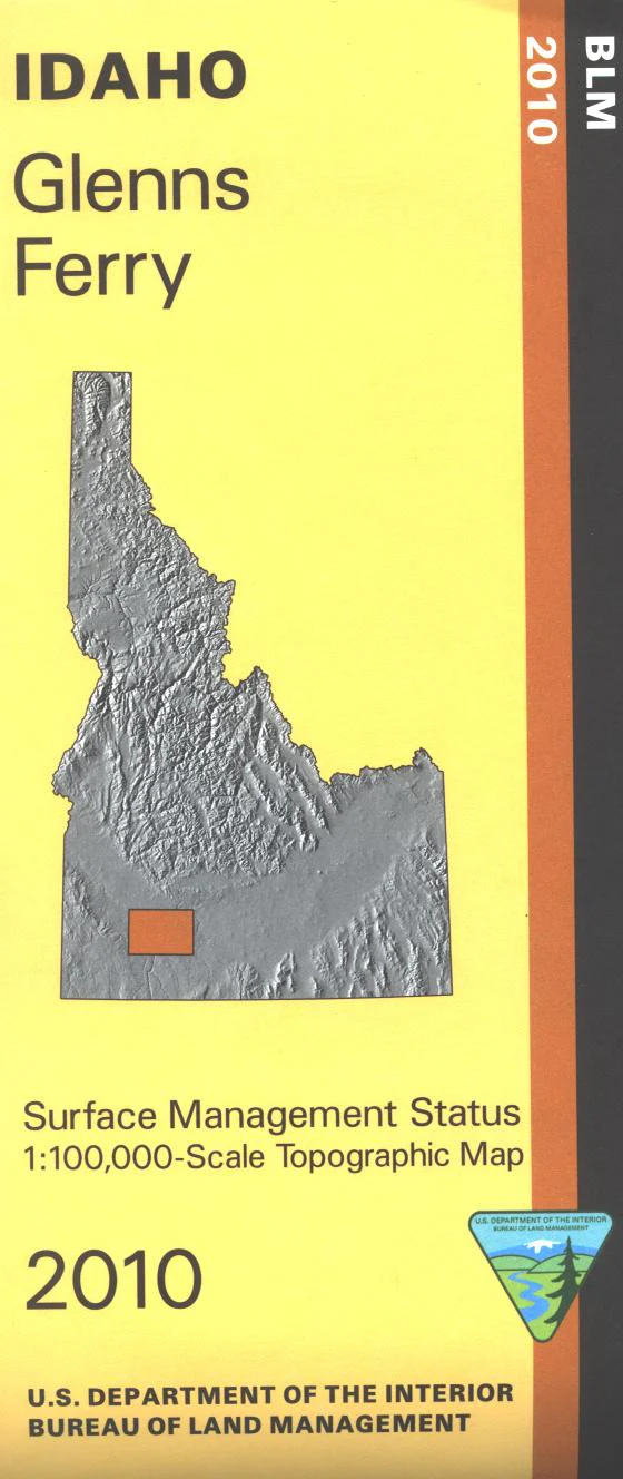
Map: Glenns Ferry ID - ID1022S
Official Bureau of Land Management metric topographic map @1:100,000 scale (roughly 3/4"`1 mile), color-coded to show Surface Management/ownership. ID Hunting Units 41, 46. 2010
$8.99
Map: Glenns Ferry ID - ID1022S—
$8.99
Product Information
Product Information
Shipping & Returns
Shipping & Returns
Description
Official Bureau of Land Management metric topographic map @1:100,000 scale (roughly 3/4"`1 mile), color-coded to show Surface Management/ownership. ID Hunting Units 41, 46. 2010


