Map: Glen Canyon Dam AZ - AZ119S
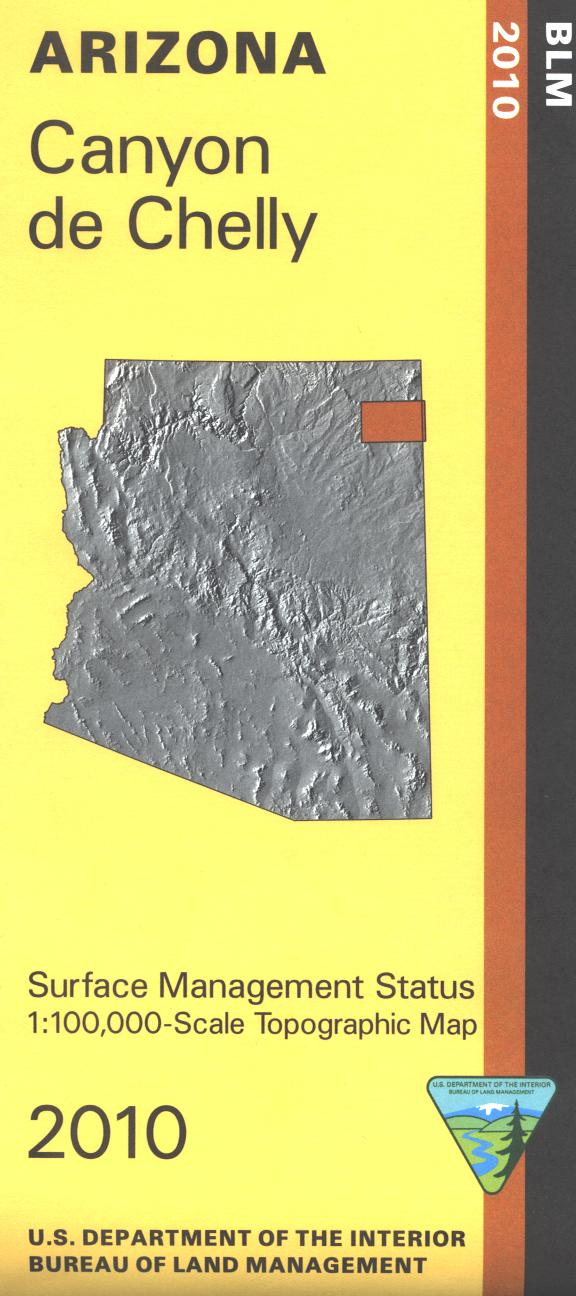
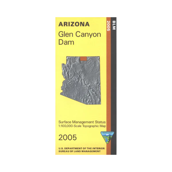
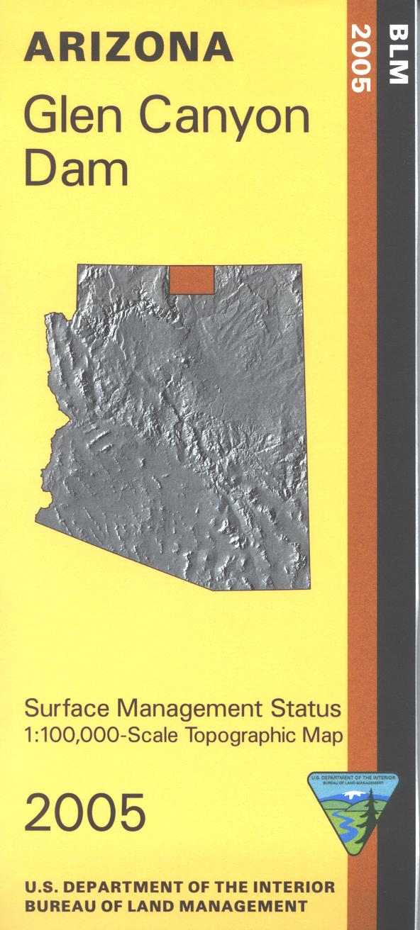
Differentiates between public and private land, and also among the various agencies who manage the public lands. Scenic driving, hiking, backpacking, and exploring the Paria Plateau and the scenic Vermillion Cliffs National Monument and Wilderness Area. Grand Canyon boating and rafting access along with excellent fishing opportunities on the Colorado River at Lee's Ferry. Also a campground is at Lee's Ferry with a short hiking trail leading to the river for fishing and wading. Two-thirds of the map includes the Navajo Indian Reservation. Use the map for AZ Hunting Unit 12B. Scale 1:100,000 (roughly 3/4 inch = 1 mile). 2005
Product Information
Product Information
Shipping & Returns
Shipping & Returns
Description
Differentiates between public and private land, and also among the various agencies who manage the public lands. Scenic driving, hiking, backpacking, and exploring the Paria Plateau and the scenic Vermillion Cliffs National Monument and Wilderness Area. Grand Canyon boating and rafting access along with excellent fishing opportunities on the Colorado River at Lee's Ferry. Also a campground is at Lee's Ferry with a short hiking trail leading to the river for fishing and wading. Two-thirds of the map includes the Navajo Indian Reservation. Use the map for AZ Hunting Unit 12B. Scale 1:100,000 (roughly 3/4 inch = 1 mile). 2005