Map: Gallatin National Forest MT-North
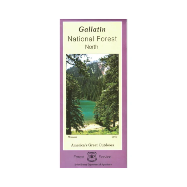
Map covers the northern portion of Gallatin National Forest from Big Timber west to Bozeman, and north almost to Ringling. Explore the forest while watching for wildlife, enjoy scenic views, or hike on the Bridger Mountains National Scenic Trail near Bozeman. Official map is scaled at 1"=1 mile, with topographic detail, and color coded surface management.
Shows all lands, roads, OHV roads/trails, hiking trails, water features, campgrounds, other recreation sites, and points of interest within the forest. The map includes information about motorized off-road travel (ATVs, motorcycles, etc.) Many opportunities for OHV use available in this north section of the forest. This map is topographic and is printed on synthetic waterproof material. Map is useful for MT Deer and Elk Hunting Units 312, 393, 570, and 580; MT Moose Hunting Unit 312. 2012
Product Information
Product Information
Shipping & Returns
Shipping & Returns
Description
Map covers the northern portion of Gallatin National Forest from Big Timber west to Bozeman, and north almost to Ringling. Explore the forest while watching for wildlife, enjoy scenic views, or hike on the Bridger Mountains National Scenic Trail near Bozeman. Official map is scaled at 1"=1 mile, with topographic detail, and color coded surface management.
Shows all lands, roads, OHV roads/trails, hiking trails, water features, campgrounds, other recreation sites, and points of interest within the forest. The map includes information about motorized off-road travel (ATVs, motorcycles, etc.) Many opportunities for OHV use available in this north section of the forest. This map is topographic and is printed on synthetic waterproof material. Map is useful for MT Deer and Elk Hunting Units 312, 393, 570, and 580; MT Moose Hunting Unit 312. 2012


