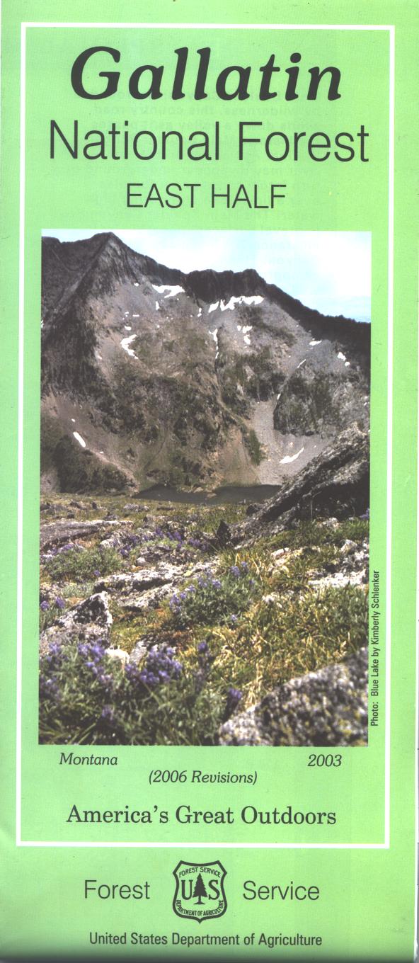
Map: Gallatin National Forest MT - East
Covers the entire forest. Official Forest Service map is scaled at 1/2"=1 mile. Shows all lands, roads, trails, campgrounds and other recreation sites within the forest. The map includes information about motorized off-road travel (ATVs, motorcycles, etc.) Printed on waterproof tear proof material. 2006
$19.99
Map: Gallatin National Forest MT - East—
$19.99
Product Information
Product Information
Shipping & Returns
Shipping & Returns
Description
Covers the entire forest. Official Forest Service map is scaled at 1/2"=1 mile. Shows all lands, roads, trails, campgrounds and other recreation sites within the forest. The map includes information about motorized off-road travel (ATVs, motorcycles, etc.) Printed on waterproof tear proof material. 2006


