Map: Frank Church River No Return Wilderness Area Map ID (South Half)
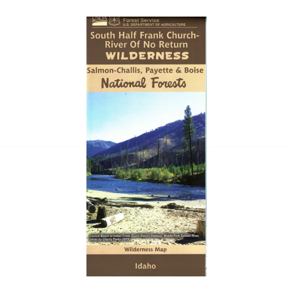
Detailed map for southern portion of the expansive Frank Church-River of No Return Wilderness. The map details waterways, springs, trails, administrative boundaries and topographic contours. Scaled at 1:100,000. Map includes sections in the Boise, Challis, Salmon, Bitterroot, Payette and Nez Perce National Forests. Map covers wilderness land from the South Fork of Salmon River at Yellow Pine south to Boise County line. Map is useful for ID Hunting Units 20, 20A, 26, 27, 28, 34, and 36. Synthetic. 2023.
Product Information
Product Information
Shipping & Returns
Shipping & Returns
Description
Detailed map for southern portion of the expansive Frank Church-River of No Return Wilderness. The map details waterways, springs, trails, administrative boundaries and topographic contours. Scaled at 1:100,000. Map includes sections in the Boise, Challis, Salmon, Bitterroot, Payette and Nez Perce National Forests. Map covers wilderness land from the South Fork of Salmon River at Yellow Pine south to Boise County line. Map is useful for ID Hunting Units 20, 20A, 26, 27, 28, 34, and 36. Synthetic. 2023.


