Map: Fort Morgan CO - CO125S
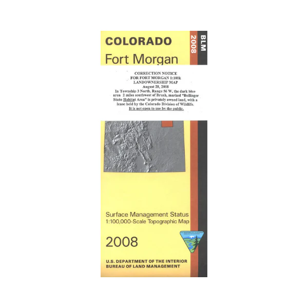
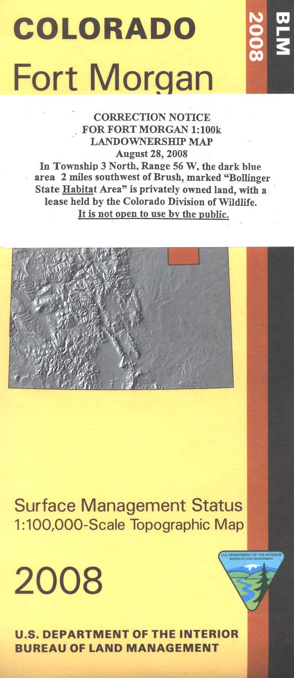
The BLM quadrant maps are scaled at 1:100,000, and cover an area of about 30 x 50 miles. Most of the map is private lands with scattered sections of state lands. No BLM land shown. South Platte River and Prewitt Reservoir are shown. Camping, hunting, fishing, and boating at the reservoir. Map is useful for OHV use, and Colorado Hunting Units 95,96,97,99 and 100. Ownership status is denoted by color, and roads, lakes, streams, and other topographical features are marked on these maps. 2008
Original: $8.99
-65%$8.99
$3.15Product Information
Product Information
Shipping & Returns
Shipping & Returns
Description
The BLM quadrant maps are scaled at 1:100,000, and cover an area of about 30 x 50 miles. Most of the map is private lands with scattered sections of state lands. No BLM land shown. South Platte River and Prewitt Reservoir are shown. Camping, hunting, fishing, and boating at the reservoir. Map is useful for OHV use, and Colorado Hunting Units 95,96,97,99 and 100. Ownership status is denoted by color, and roads, lakes, streams, and other topographical features are marked on these maps. 2008


