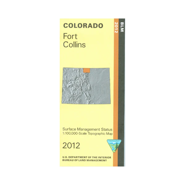
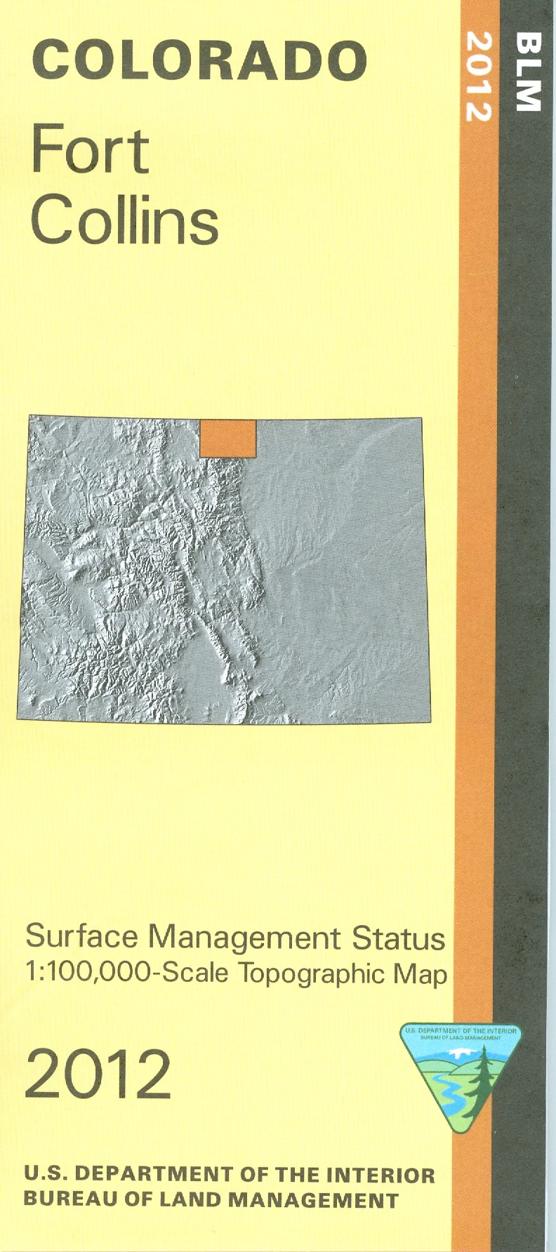
Map: Fort Collins CO - CO124S
The BLM quadrant maps are scaled at 1:100,000, and cover an area of about 30 x 50 miles. The beautiful Roosevelt National Forest offers wonderful recreational opportunities. Enjoy the pristine environments in the Rawah, the Comanche Peak, and the Cache La Poudre Wilderness areas. Scenic driving on Hwy 14, which follows along the Cache La Poudre River. Recreation on the river includes camping, hiking, fishing, and floating/rafting. The map is also useful for OHV/4WD use and Colorado Hunting Units 6,7,8,9,19,20 and 191. Ownership status is denoted by color, and roads, lakes, streams, and other topographical features are marked on these maps. 2012
Product Information
Product Information
Shipping & Returns
Shipping & Returns
Description
The BLM quadrant maps are scaled at 1:100,000, and cover an area of about 30 x 50 miles. The beautiful Roosevelt National Forest offers wonderful recreational opportunities. Enjoy the pristine environments in the Rawah, the Comanche Peak, and the Cache La Poudre Wilderness areas. Scenic driving on Hwy 14, which follows along the Cache La Poudre River. Recreation on the river includes camping, hiking, fishing, and floating/rafting. The map is also useful for OHV/4WD use and Colorado Hunting Units 6,7,8,9,19,20 and 191. Ownership status is denoted by color, and roads, lakes, streams, and other topographical features are marked on these maps. 2012


