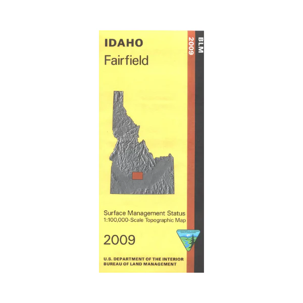
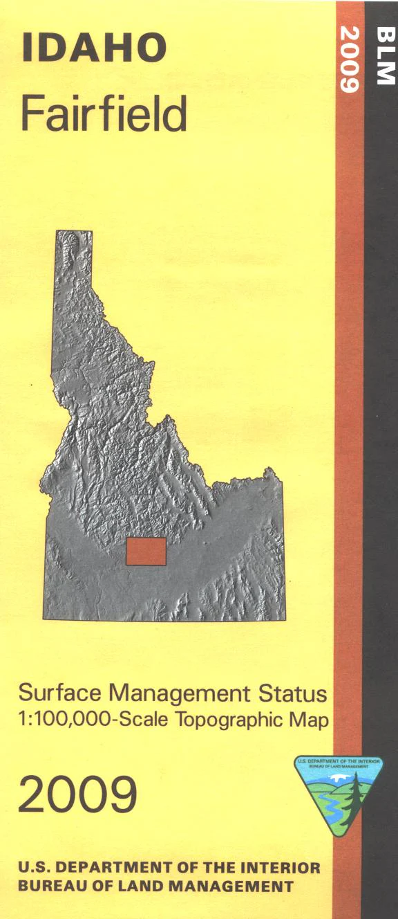
Map: Fairfield ID - ID1021S
Map shows a large area of BLM lands south and east of Fairfield, and a small area of Sawtooth National Forest north of Fairfield. Magic Reservoir offers camping, fishing, and boating; south of it are two areas with mountain bike trails. Official Bureau of Land Management metric topographic map @1:100,000 scale (roughly 3/4"`1 mile), color-coded to show Surface Management/ownership. Map shows roads, OHV?4WD roads, waterways, recreation sites, and points of interest. Map is useful for OHV use, and ID Hunting Units 44, 45,48, 49, 52A, and 52. 2009
Product Information
Product Information
Shipping & Returns
Shipping & Returns
Description
Map shows a large area of BLM lands south and east of Fairfield, and a small area of Sawtooth National Forest north of Fairfield. Magic Reservoir offers camping, fishing, and boating; south of it are two areas with mountain bike trails. Official Bureau of Land Management metric topographic map @1:100,000 scale (roughly 3/4"`1 mile), color-coded to show Surface Management/ownership. Map shows roads, OHV?4WD roads, waterways, recreation sites, and points of interest. Map is useful for OHV use, and ID Hunting Units 44, 45,48, 49, 52A, and 52. 2009


