
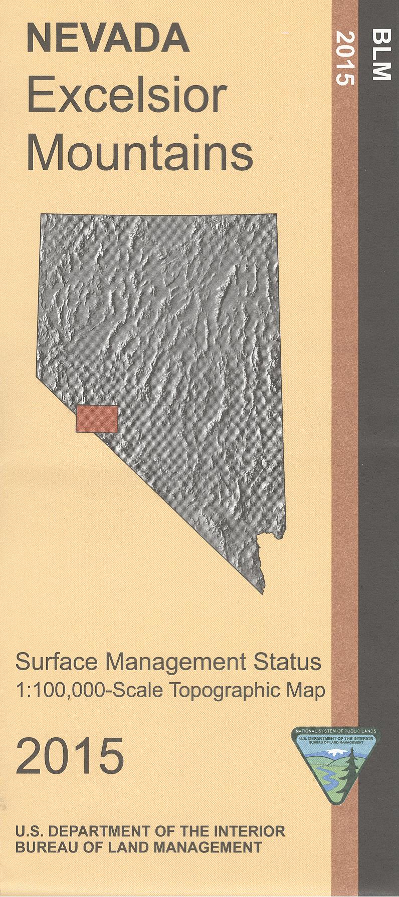
Map: Excelsior Mountains NV - NV123S
Official Bureau of Land Management metric topographic map @1:100,000 scale (roughly 3/4"=1 mile), color-coded to show surface management, i.e. agency vs. private or tribal ownership.
Map shows color-coded public and private ownership, roads, water features, points of interest and the township and range lines. Map shows trails, roads, and developed recreation areas such as campgrounds. Includes a small part of Mono Lake and Mono Basin National Scenic Area in California. Also includes Humboldt Toiyabe National Forest Excelsior Mountains Area, and a large area of BLM land west of Tonopah Junction NV.
Use this map for OHV use, and hunting in Nevada Units 202, 204, 206, 208, and 211; and for Califonia Deer Hunting in Units X9a and X12. 2015
Original: $8.99
-65%$8.99
$3.15Product Information
Product Information
Shipping & Returns
Shipping & Returns
Description
Official Bureau of Land Management metric topographic map @1:100,000 scale (roughly 3/4"=1 mile), color-coded to show surface management, i.e. agency vs. private or tribal ownership.
Map shows color-coded public and private ownership, roads, water features, points of interest and the township and range lines. Map shows trails, roads, and developed recreation areas such as campgrounds. Includes a small part of Mono Lake and Mono Basin National Scenic Area in California. Also includes Humboldt Toiyabe National Forest Excelsior Mountains Area, and a large area of BLM land west of Tonopah Junction NV.
Use this map for OHV use, and hunting in Nevada Units 202, 204, 206, 208, and 211; and for Califonia Deer Hunting in Units X9a and X12. 2015


