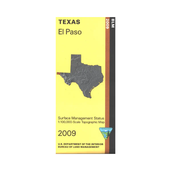
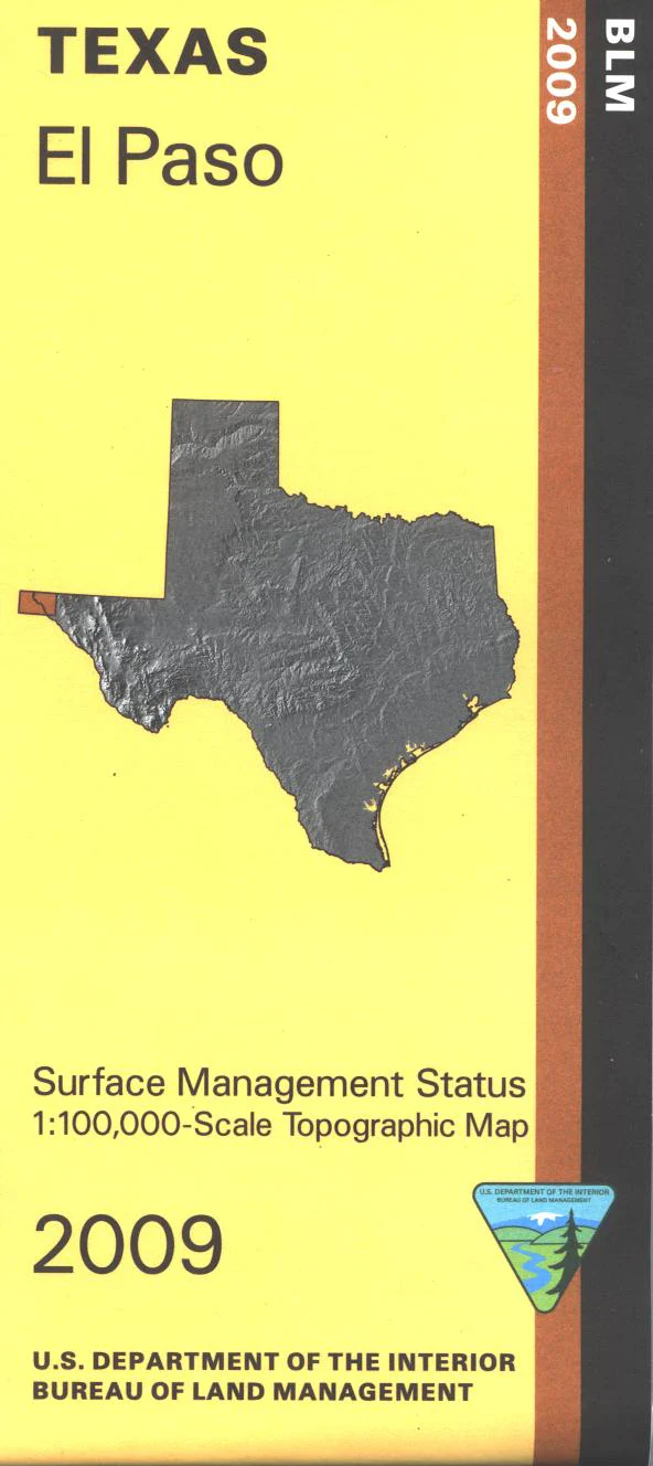
Map: El Paso TX/NM - NM023S
Official Bureau of Land Management topographic maps @1:100,000 metric scale (roughly 3/4" = 1 mile), are color-coded to show federally-managed public lands; plus state, private, or tribal lands, military withdrawals, roads and trails, lakes, rivers and streams, and developed recreation areas. It is a great map to have while stalking game in Hunting Unit 25, wildlife watching, desert hiking, backpacking, mountain biking, camping, or OHV and ATV riding. Includes roads and lands in Dona Ana County NM, Fort Bliss TX, and in Mexico around Ciudad Juarez. 2009
Original: $8.99
-65%$8.99
$3.15Product Information
Product Information
Shipping & Returns
Shipping & Returns
Description
Official Bureau of Land Management topographic maps @1:100,000 metric scale (roughly 3/4" = 1 mile), are color-coded to show federally-managed public lands; plus state, private, or tribal lands, military withdrawals, roads and trails, lakes, rivers and streams, and developed recreation areas. It is a great map to have while stalking game in Hunting Unit 25, wildlife watching, desert hiking, backpacking, mountain biking, camping, or OHV and ATV riding. Includes roads and lands in Dona Ana County NM, Fort Bliss TX, and in Mexico around Ciudad Juarez. 2009


