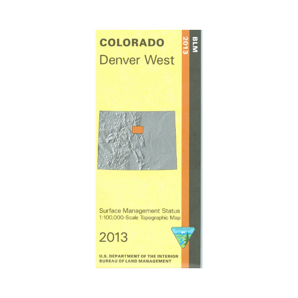
Map: Denver West CO - CO118S
The BLM quadrant maps are scaled at 1:100,000, and cover an area of about 30 x 50 miles. Extensive recreational and adventure opportunities await you in the nearby Roosevelt National Forest and Arapaho National Forest. Scenic drive to the top of 14,240 foot Mt. Evans on the highest paved road in North America. Enjoy camping, hiking, backpacking, fishing,and horseback riding in the forests. Differentiates between public and private land, and also among the various agencies who manage the public lands. Map is useful for OHV use, and hunting in Units 28, 29, 37, 38, 39, 46, 391, and 461. 2013
Product Information
Product Information
Shipping & Returns
Shipping & Returns
Description
The BLM quadrant maps are scaled at 1:100,000, and cover an area of about 30 x 50 miles. Extensive recreational and adventure opportunities await you in the nearby Roosevelt National Forest and Arapaho National Forest. Scenic drive to the top of 14,240 foot Mt. Evans on the highest paved road in North America. Enjoy camping, hiking, backpacking, fishing,and horseback riding in the forests. Differentiates between public and private land, and also among the various agencies who manage the public lands. Map is useful for OHV use, and hunting in Units 28, 29, 37, 38, 39, 46, 391, and 461. 2013


