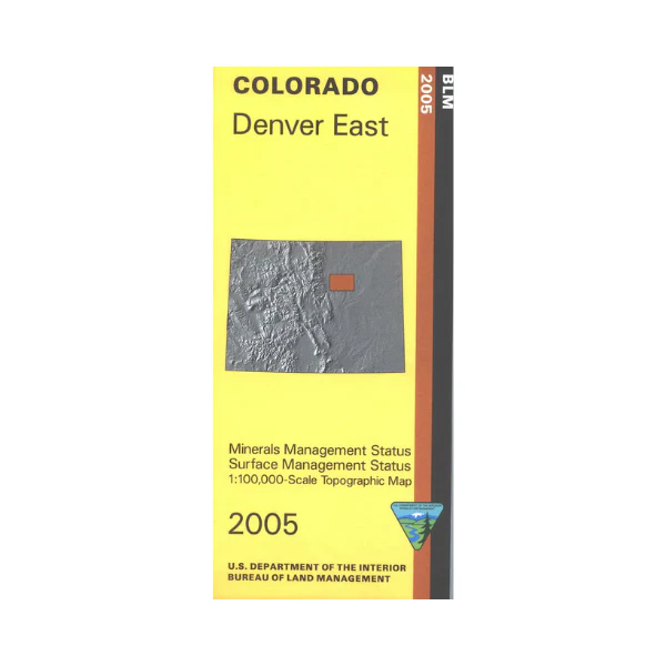
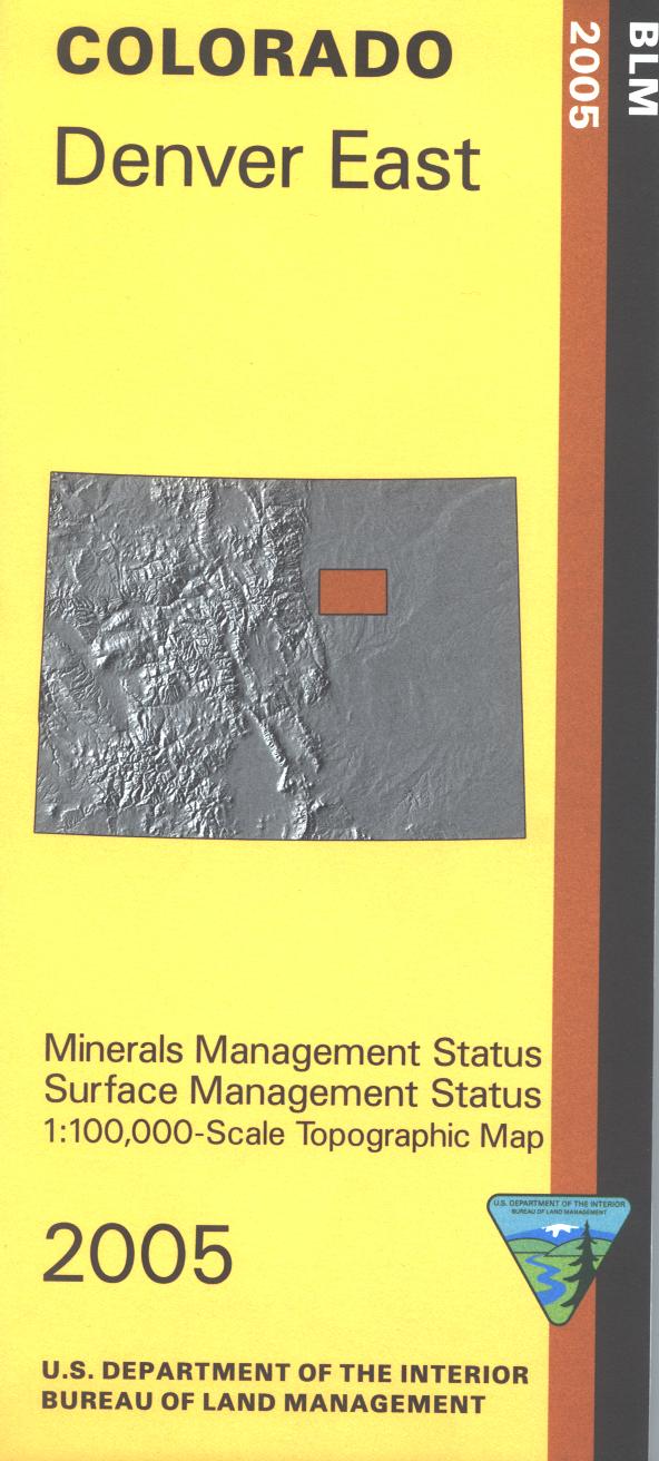
Map: Denver East CO - CO117S
Mineral Management version. The BLM quadrant maps are scaled at 1:100,000, and cover an area of about 30 x 50 miles. Ownership status is denoted by color, and roads, lakes, streams, and other topographical features are marked on these maps. Visit Cherry Creek State Park; offers camping, horse riding, hiking, fishing, boating, swimming, and picnicking. No BLM land shown on map. Use this map for hunting in Units 99, 104, 105, and 106. 2005
$3.15
Original: $8.99
-65%Map: Denver East CO - CO117S—
$8.99
$3.15Product Information
Product Information
Shipping & Returns
Shipping & Returns
Description
Mineral Management version. The BLM quadrant maps are scaled at 1:100,000, and cover an area of about 30 x 50 miles. Ownership status is denoted by color, and roads, lakes, streams, and other topographical features are marked on these maps. Visit Cherry Creek State Park; offers camping, horse riding, hiking, fishing, boating, swimming, and picnicking. No BLM land shown on map. Use this map for hunting in Units 99, 104, 105, and 106. 2005


