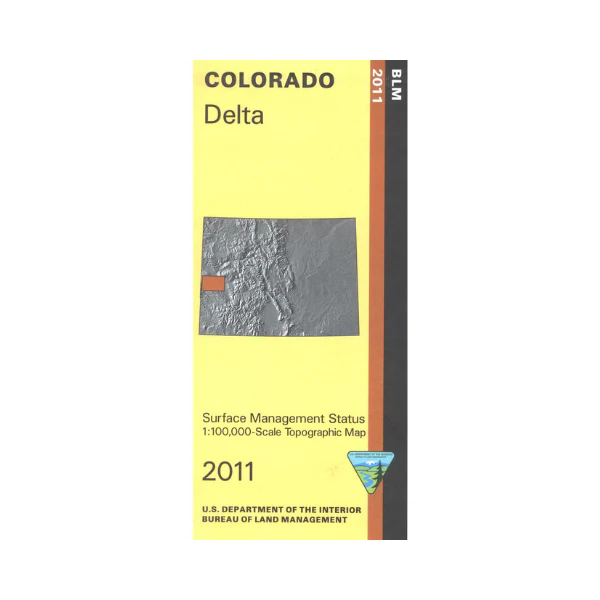
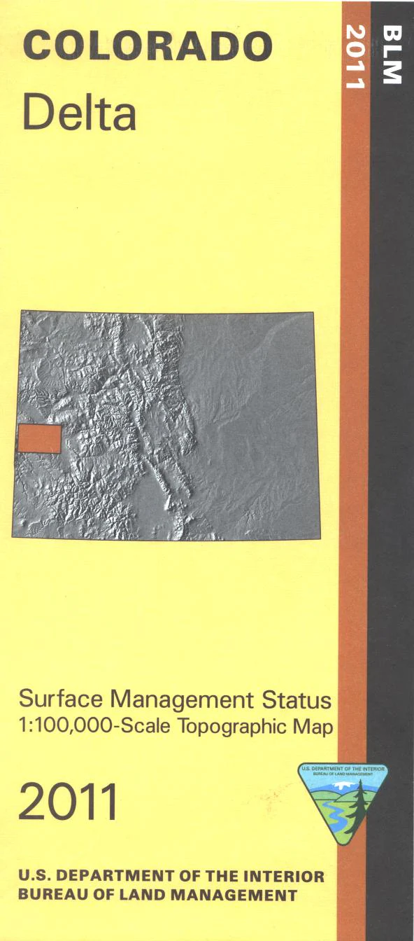
Map: Delta CO - CO116S
The BLM quadrant maps are scaled at 1:100,000, and cover an area of about 30 x 50 miles. The Uncompahgre National Forest, Grand Mesa National Forest, and extensive BLM lands will provide you extensive areas for your outdoor adventures. Activities include scenic driving, mountain biking, camping, horseback riding, and hiking. OHV/ATV riding at BLM's North Delta OHV Area. Map is useful for OHV use and Colorado Hunting Units 40,41,60,61,62, 64, and 411. Differentiates between public and private land, and also among the various agencies who manage the public lands. 2011
Product Information
Product Information
Shipping & Returns
Shipping & Returns
Description
The BLM quadrant maps are scaled at 1:100,000, and cover an area of about 30 x 50 miles. The Uncompahgre National Forest, Grand Mesa National Forest, and extensive BLM lands will provide you extensive areas for your outdoor adventures. Activities include scenic driving, mountain biking, camping, horseback riding, and hiking. OHV/ATV riding at BLM's North Delta OHV Area. Map is useful for OHV use and Colorado Hunting Units 40,41,60,61,62, 64, and 411. Differentiates between public and private land, and also among the various agencies who manage the public lands. 2011


