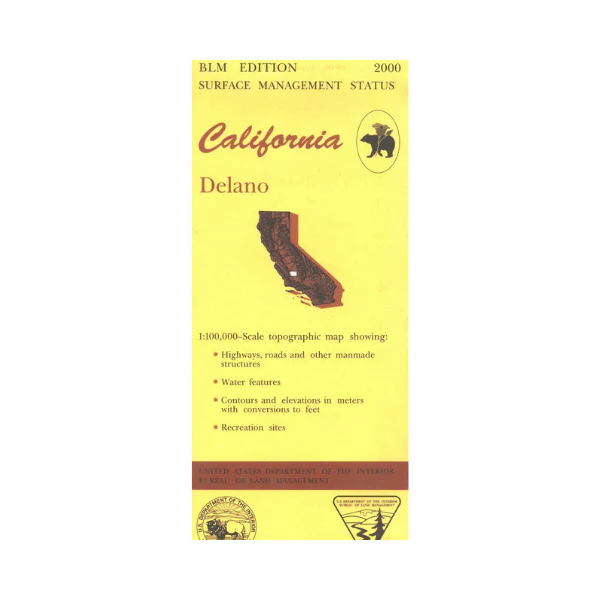
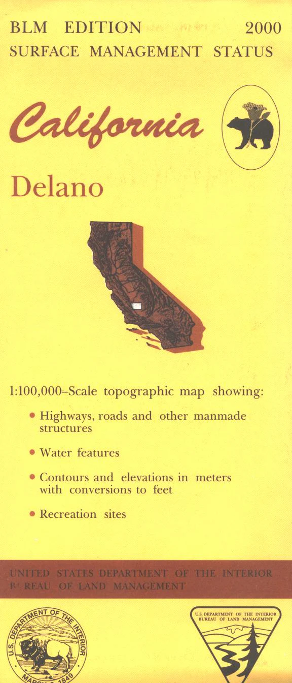
Map: Delano CA - CA125S
Map shows almost all private land surrounding Delano. Kern and Pixley National Wildlife Refuges, and Colonel Allensworth State Historic Site are north or west of Delano. Official Bureau of Land Management metric topographic map @1:100,000 scale (roughly 3/4"=1 mile), color-coded to show surface management, i.e. agency vs. private or tribal ownership. Map shows roads, water features, points of interest, and the township and range lines. Use this map for Deer Hunting in Units A South 110 and D8 and for Elk Hunting in La Panza Zone. 2001
Original: $8.99
-65%$8.99
$3.15Product Information
Product Information
Shipping & Returns
Shipping & Returns
Description
Map shows almost all private land surrounding Delano. Kern and Pixley National Wildlife Refuges, and Colonel Allensworth State Historic Site are north or west of Delano. Official Bureau of Land Management metric topographic map @1:100,000 scale (roughly 3/4"=1 mile), color-coded to show surface management, i.e. agency vs. private or tribal ownership. Map shows roads, water features, points of interest, and the township and range lines. Use this map for Deer Hunting in Units A South 110 and D8 and for Elk Hunting in La Panza Zone. 2001


