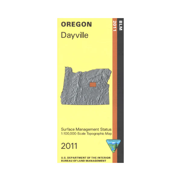
Map: Dayville OR - OR018S
From Dayville travel the South Fork John Day River Back Country Byway south along the river through BLM land and near Phillip W Schneider Wildlife Area. Explore Ochoco National Forest west of the river or Malheur National Forest east of the river. Opportunities for camping, hiking, and horseback riding in Ochoco NF. Official Bureau of Land Management metric topographic map
@1:100,000 scale (roughly 3/4"`1 mile), color-coded to show surface
management, i.e. agency vs. private or tribal ownership. This map shows roads, water features, recreation sites, points of interest, and the township
and range lines. Map is useful for OR Hunting Units 37 and 46. 2011
Product Information
Product Information
Shipping & Returns
Shipping & Returns
Description
From Dayville travel the South Fork John Day River Back Country Byway south along the river through BLM land and near Phillip W Schneider Wildlife Area. Explore Ochoco National Forest west of the river or Malheur National Forest east of the river. Opportunities for camping, hiking, and horseback riding in Ochoco NF. Official Bureau of Land Management metric topographic map
@1:100,000 scale (roughly 3/4"`1 mile), color-coded to show surface
management, i.e. agency vs. private or tribal ownership. This map shows roads, water features, recreation sites, points of interest, and the township
and range lines. Map is useful for OR Hunting Units 37 and 46. 2011


